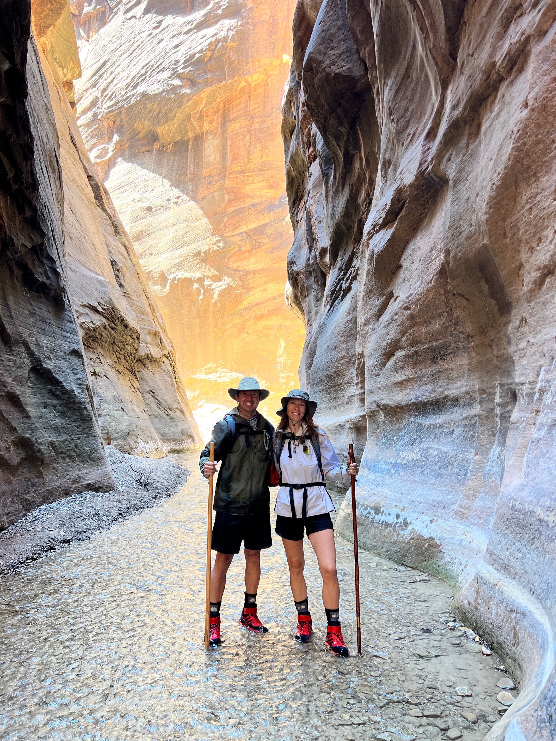
 Morning light in Zion’s Narrows. Walking the river between polished canyon walls.
Some Great Place began with a long international route on the calendar, but the preparation for that life started in the American West. Zion gave that preparation a different physical vocabulary: water, heat, sandstone, early starts, crowded shuttles, free desert camping, and the discipline of carrying less than instinct suggests.
We left Reno early for the 550-mile drive south and east, crossing Nevada’s high desert on the way to southern Utah. By the time we reached Zion, the trip had already taken on the scale of the interior West: long distances, strange roadside stops, empty horizons, and a park whose most memorable trail is not a trail at all, but a river.
The week moved between opposites. In the Narrows, the canyon closed in and every step required attention. At Observation Point, the view opened outward from 6,508 feet, with the Virgin River and Angels Landing far below. Zion required both kinds of travel sense: the close patience of the riverbed and the wider perspective of the rim.
Watch the accompanying film: Zion National Park: From River Narrows to Rim Views
Across Nevada to Zion
The drive from Reno to Zion was part of the story rather than a simple approach. Nevada’s interior has a way of stretching the sense of distance before the red-rock country begins. Tonopah, Rachel, desert roads, and the long open country around them gave the trip its first register: spare, strange, and unmistakably Western.
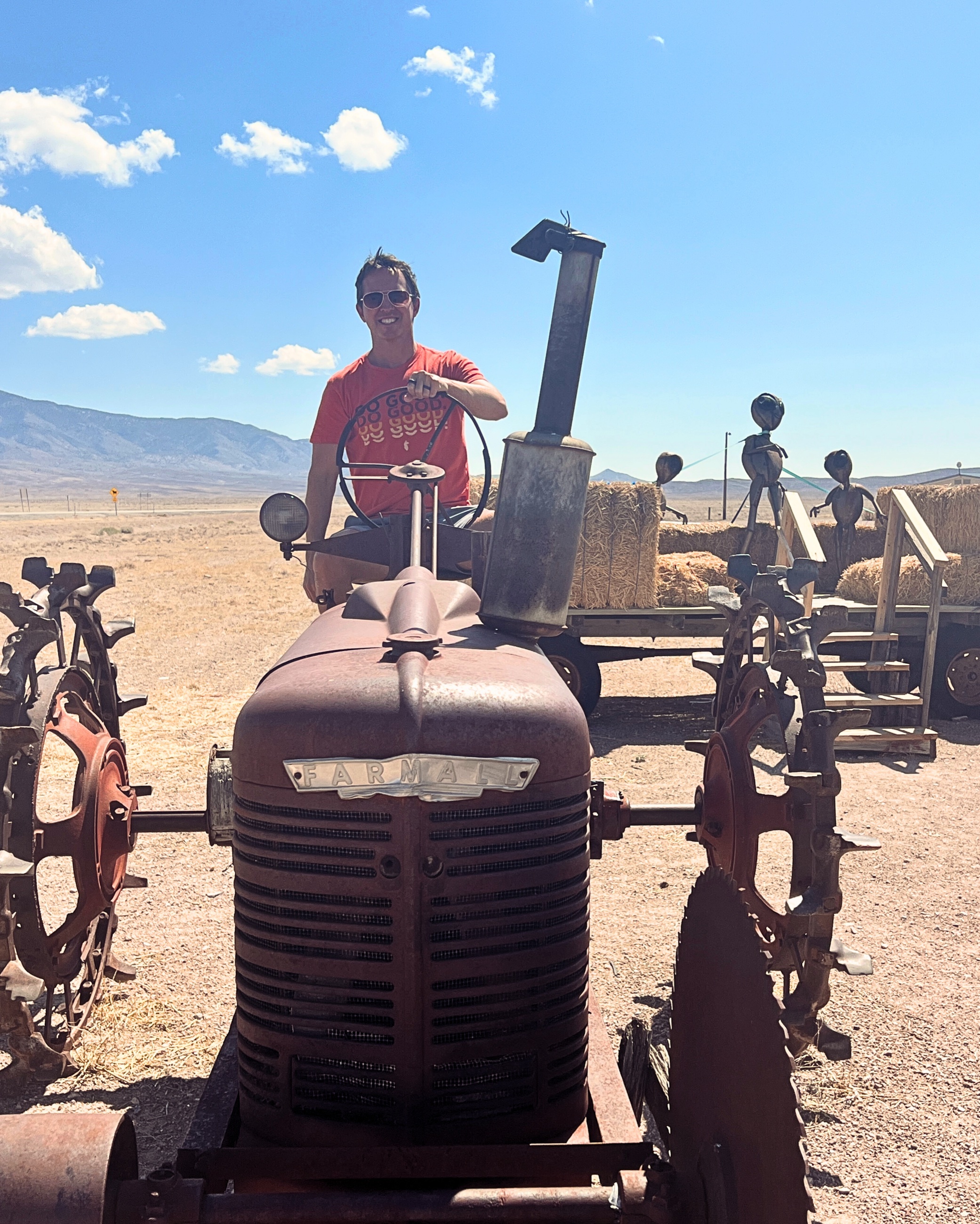 Area 51 test drive. Aliens watching.
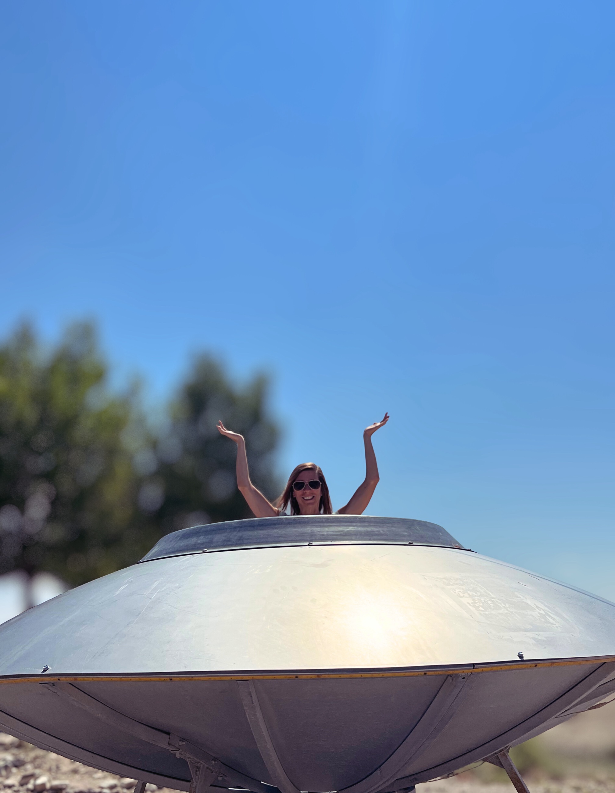 Found a UFO. Plenty of legroom.
The humor of those stops belonged to the drive, but so did the geography. The road kept moving through desert basins and toward the sandstone country ahead. By late day, the landscape had shifted toward southern Utah light: warmer, redder, more sculpted, and more visibly vertical.
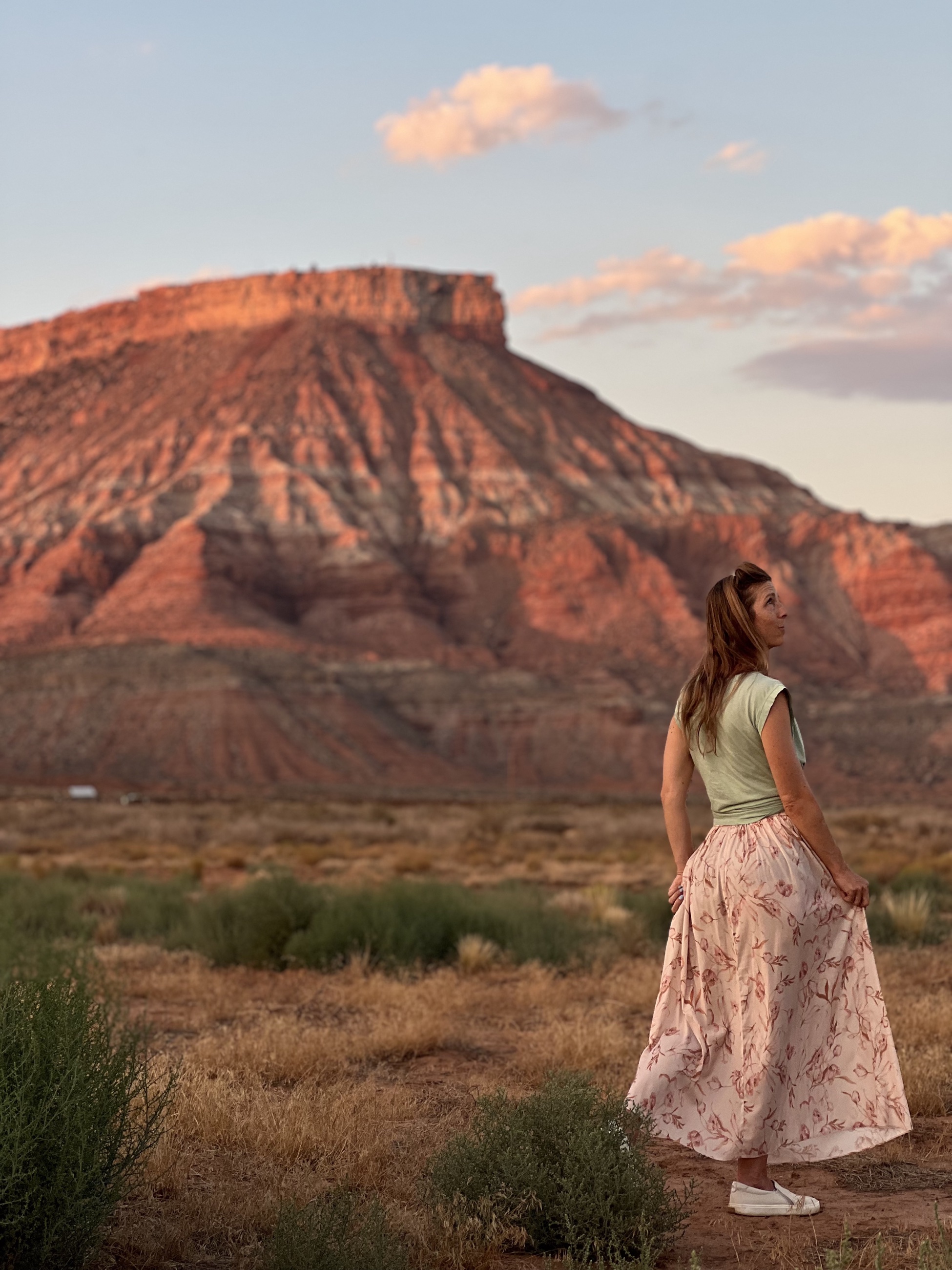 Desert runway at golden hour.
Hurricane Cliffs Base Camp
Our base camp sat below Hurricane Cliffs on BLM land, about 15 to 20 minutes from the park. It cost nothing, gave us open desert space, and made the trip feel less compressed than it would have from a hotel room or tightly packed campground. The tradeoff was straightforward: no services, no convenience, and no illusion that the desert was there to soften the work.
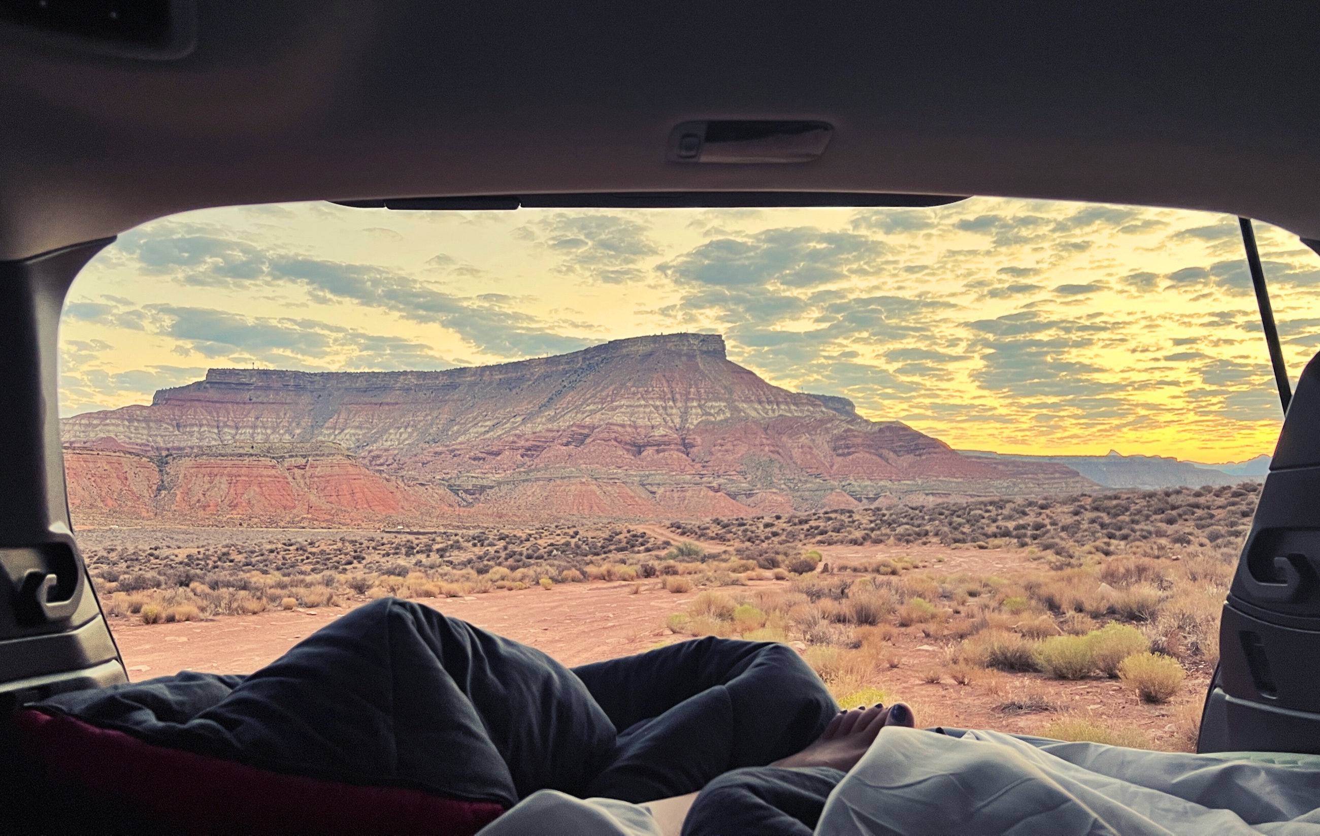 Free room with a view: Hurricane Cliffs at sunrise, car camping near Zion.
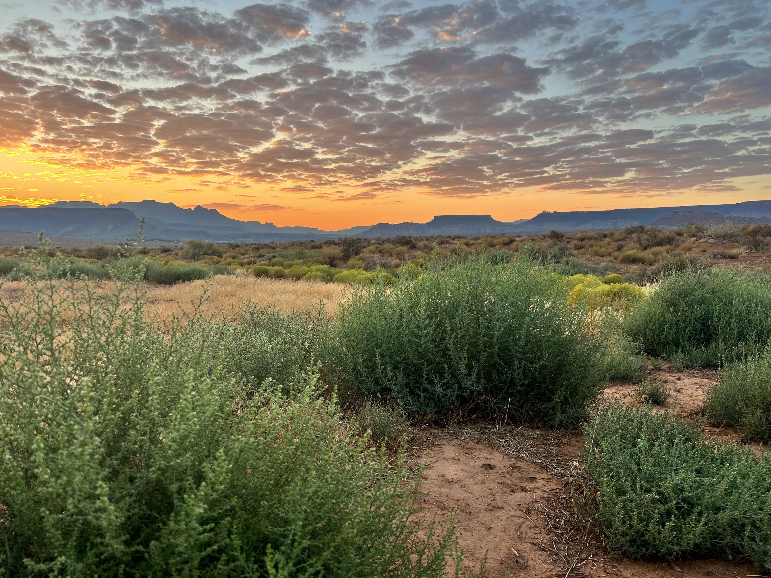 Sunrise from our campsite.
The campsite also gave the Zion days a useful counterweight. The park itself can feel intensely managed, with timed movement, shuttle lines, rented gear, and crowds gathering early. The desert outside the entrance had a different order: open space, simple meals, quiet mornings, and the practical satisfaction of sleeping close enough to begin before the day became too hot.
Into the Narrows
The best decision of the trip was picking up Narrows gear the evening before. Zion Outfitter charged the same daily rate whether we collected the warm-weather package in the morning or at 6 PM the prior evening. That small timing choice let us skip the morning rental rush and step onto the trail at first light.
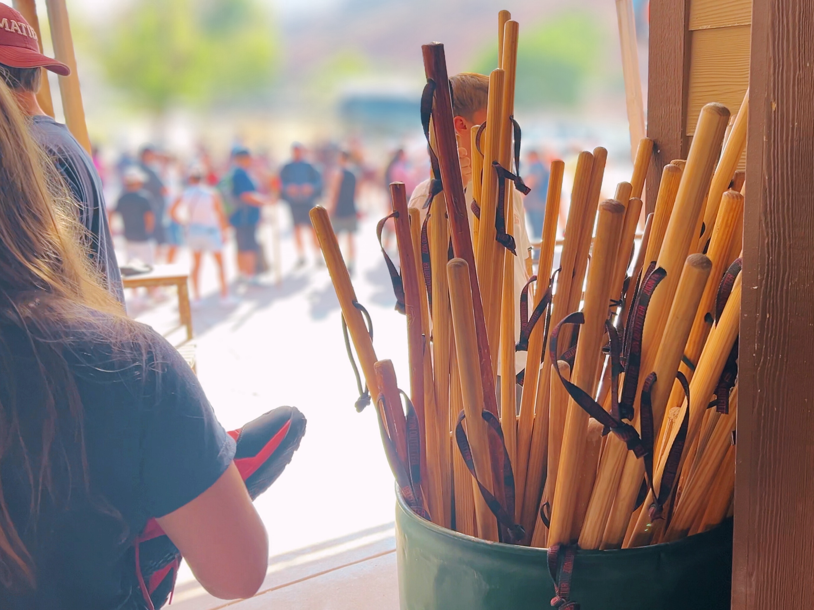 Gear up here: neoprene socks, river boots, and a sturdy stick.
The Narrows changes the meaning of hiking. The Virgin River is the route, so movement depends on water depth, current, stone, balance, and the small judgments made before each step. Speed is not especially useful. Attention is.
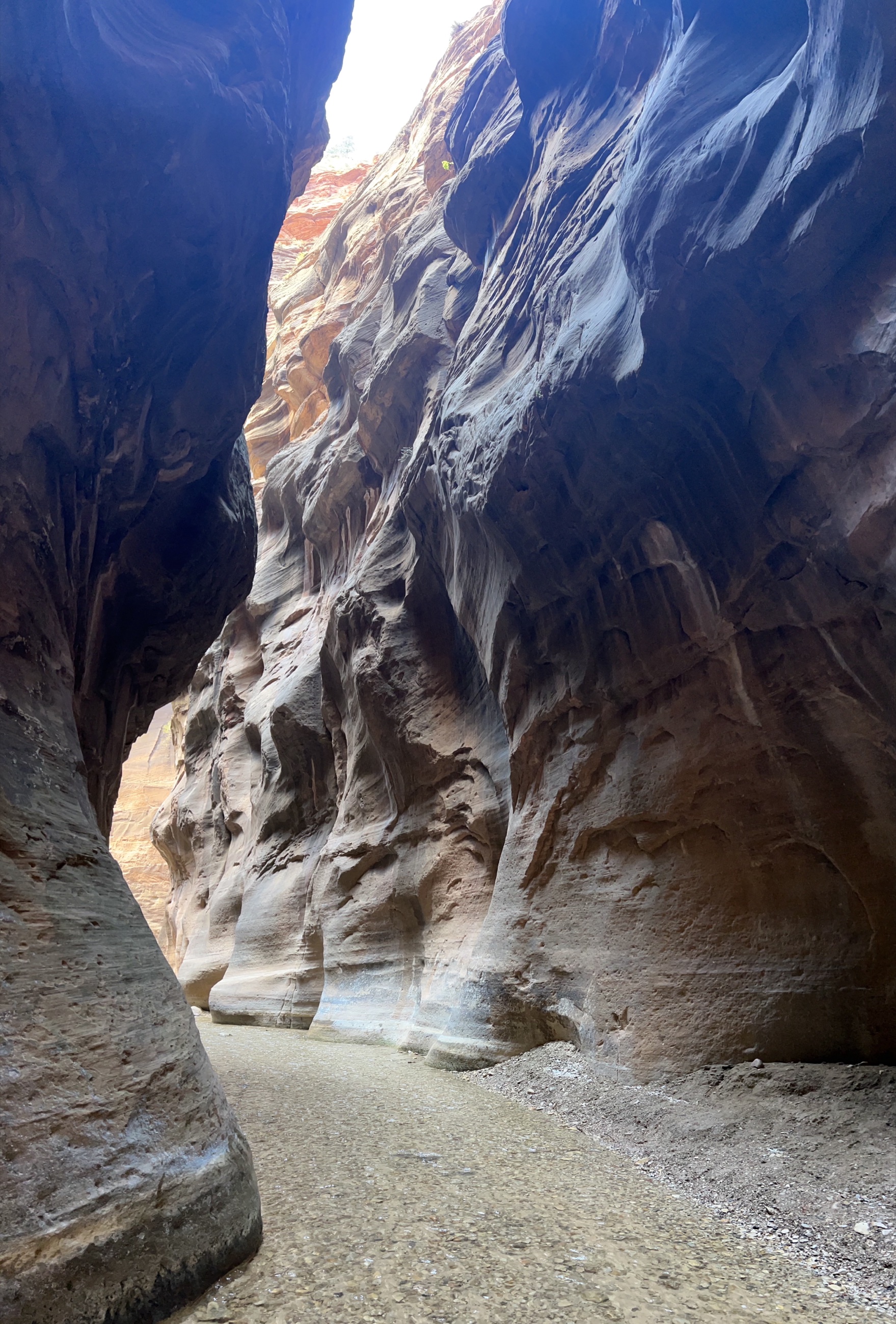 Where the river is the trail: the Narrows, Zion National Park.
Even early, the river was alive with hikers. Morning still gave us the better version of the canyon: cooler air, calmer stretches, and golden light threading between the walls before the heat and crowds thickened upstream. The deeper sections made loose gear feel foolish quickly. We lost a MagSafe tripod mount to the riverbed, which was a useful correction. In that environment, anything not secured or waterproofed becomes a liability.
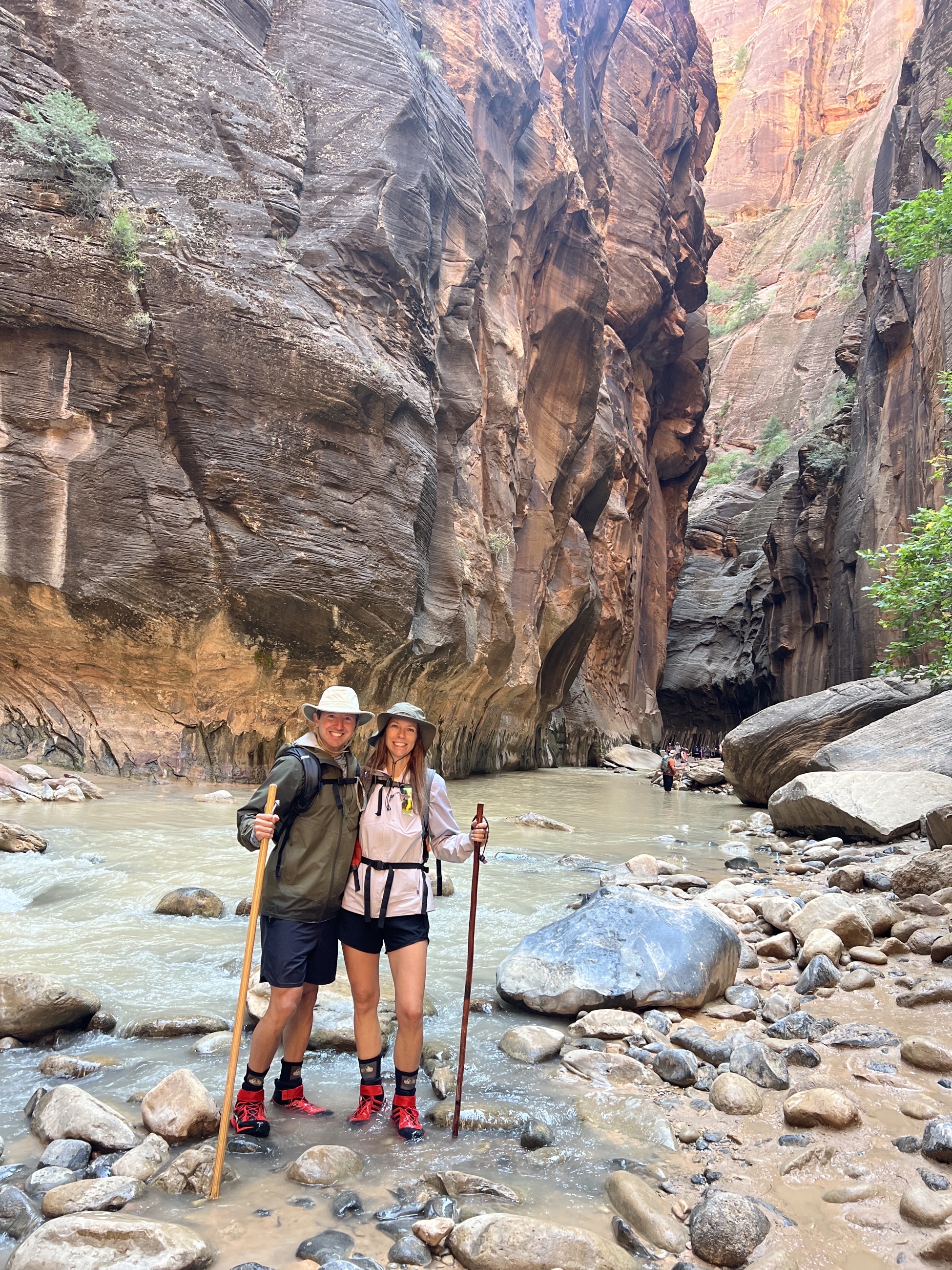 Early light in the Narrows: rental gear, big smiles.
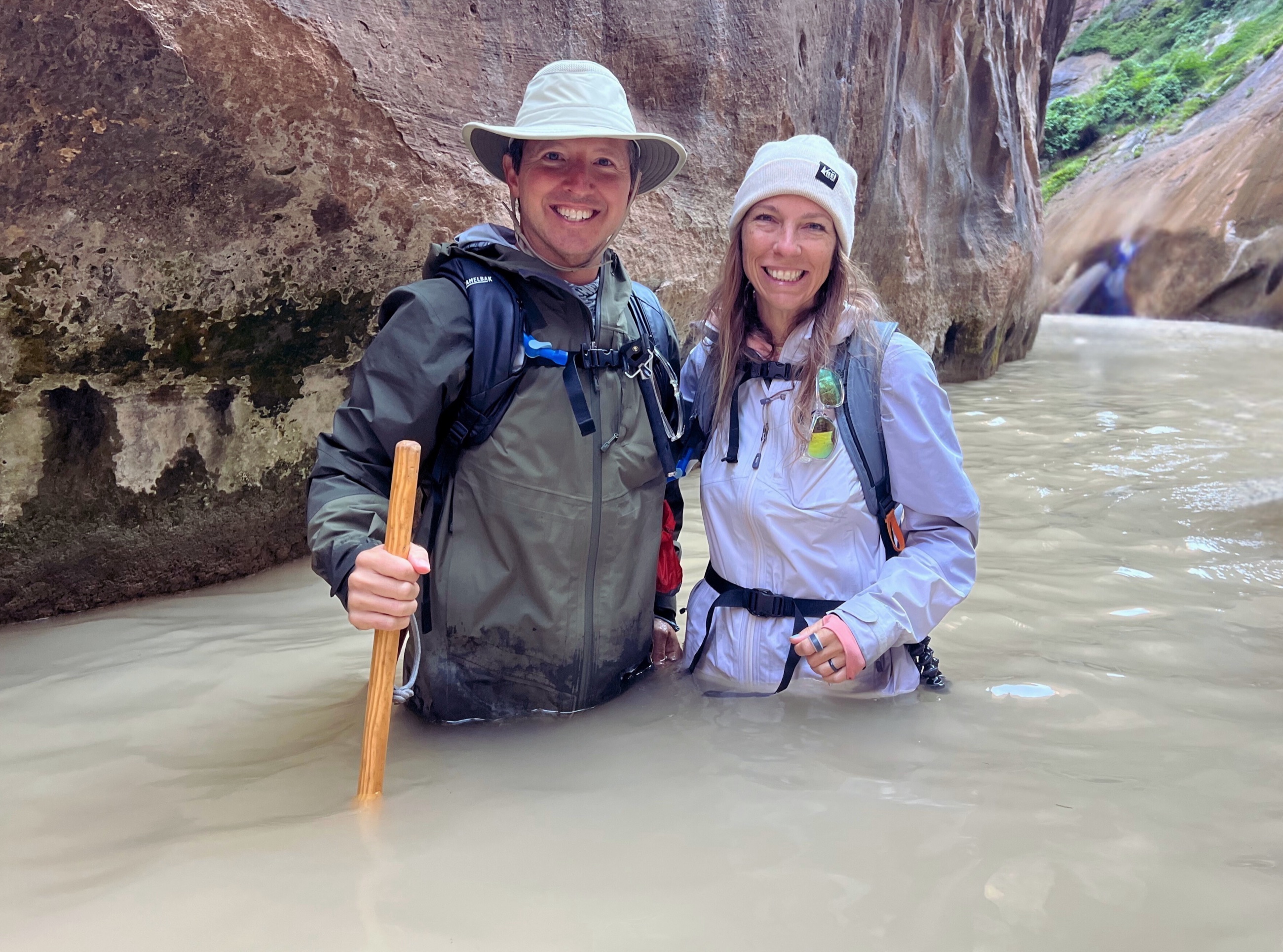 Waist-deep and all in. The Narrows makes the rules.
Springdale After the River
Springdale gave the trip its social edge after the physical work of the canyon. The town sits at the park’s threshold, serving people who arrive tired, sun-warmed, and ready for a real meal. It could easily feel purely transactional, but the better places still had enough character to become part of the day.
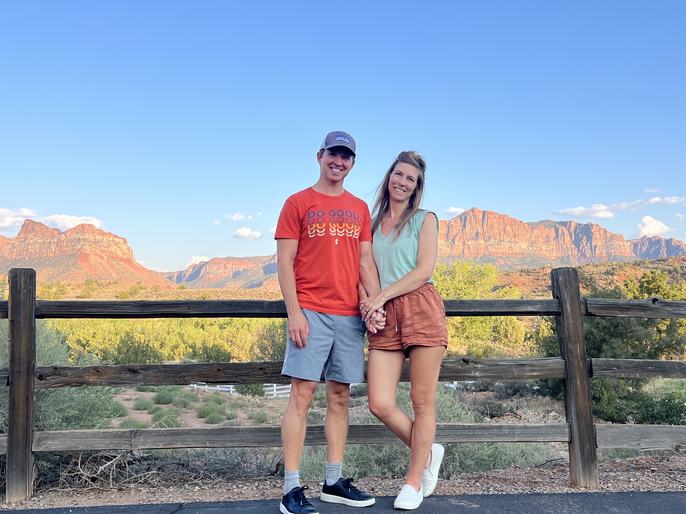 Pre-dinner stroll around Springdale.
Oscar’s Café and Bit & Spur were better uses of money than the more obvious in-park dining option. Portions at Oscar’s were large enough to split. Bit & Spur, a Springdale institution since 1981, was the right kind of end to a canyon day: Southwestern food, margaritas, and the relief that comes after moving through cold river water for hours.
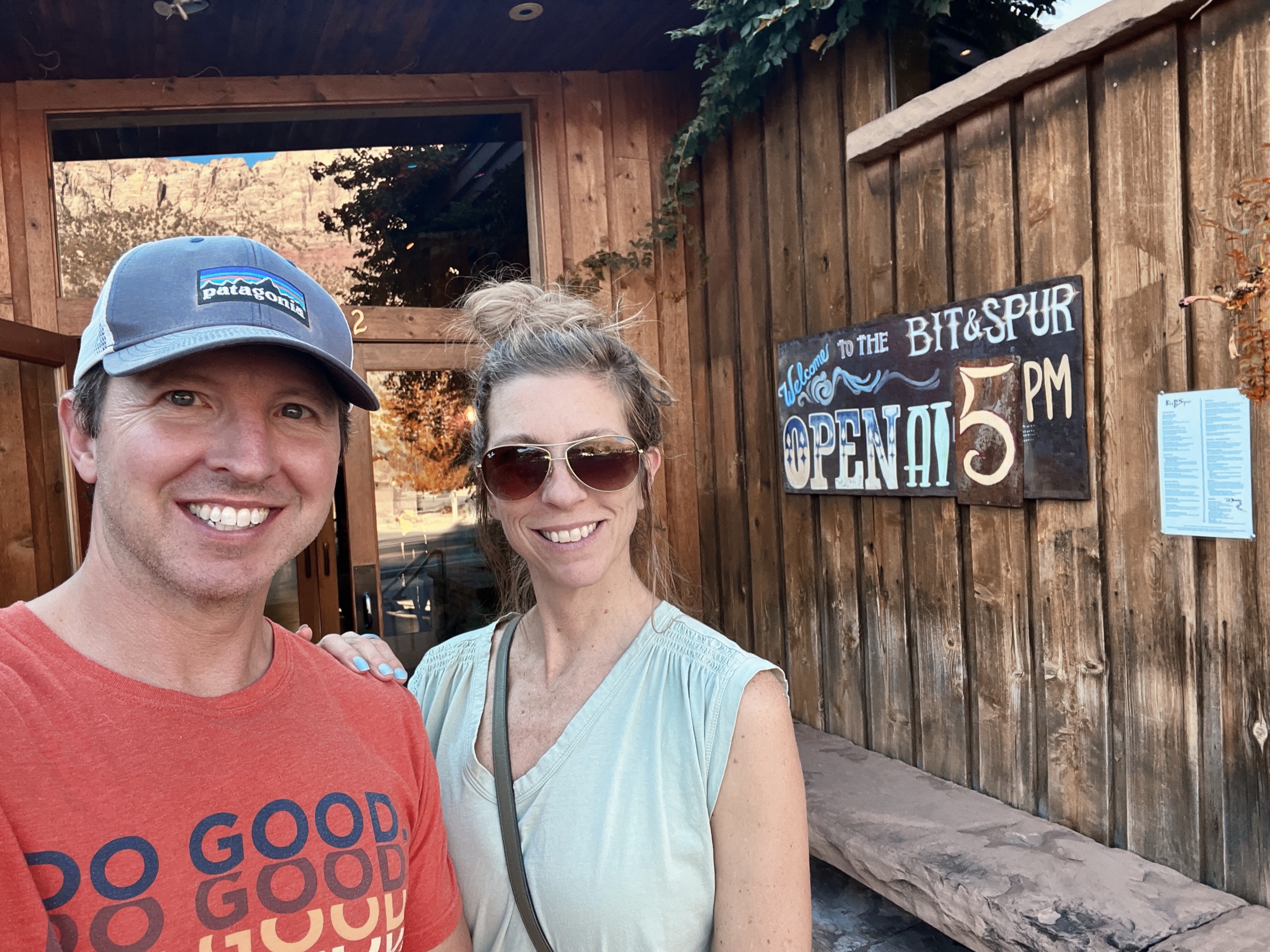 Dinner at Bit & Spur after a day in the canyon.
Observation Point Above the Canyon
Observation Point was the surprise of the trip. The East Mesa trailhead did not announce much at the start. It was a dusty approach, less theatrical than the canyon floor, and easy to underestimate. The payoff came at the rim, where Zion opened from above.
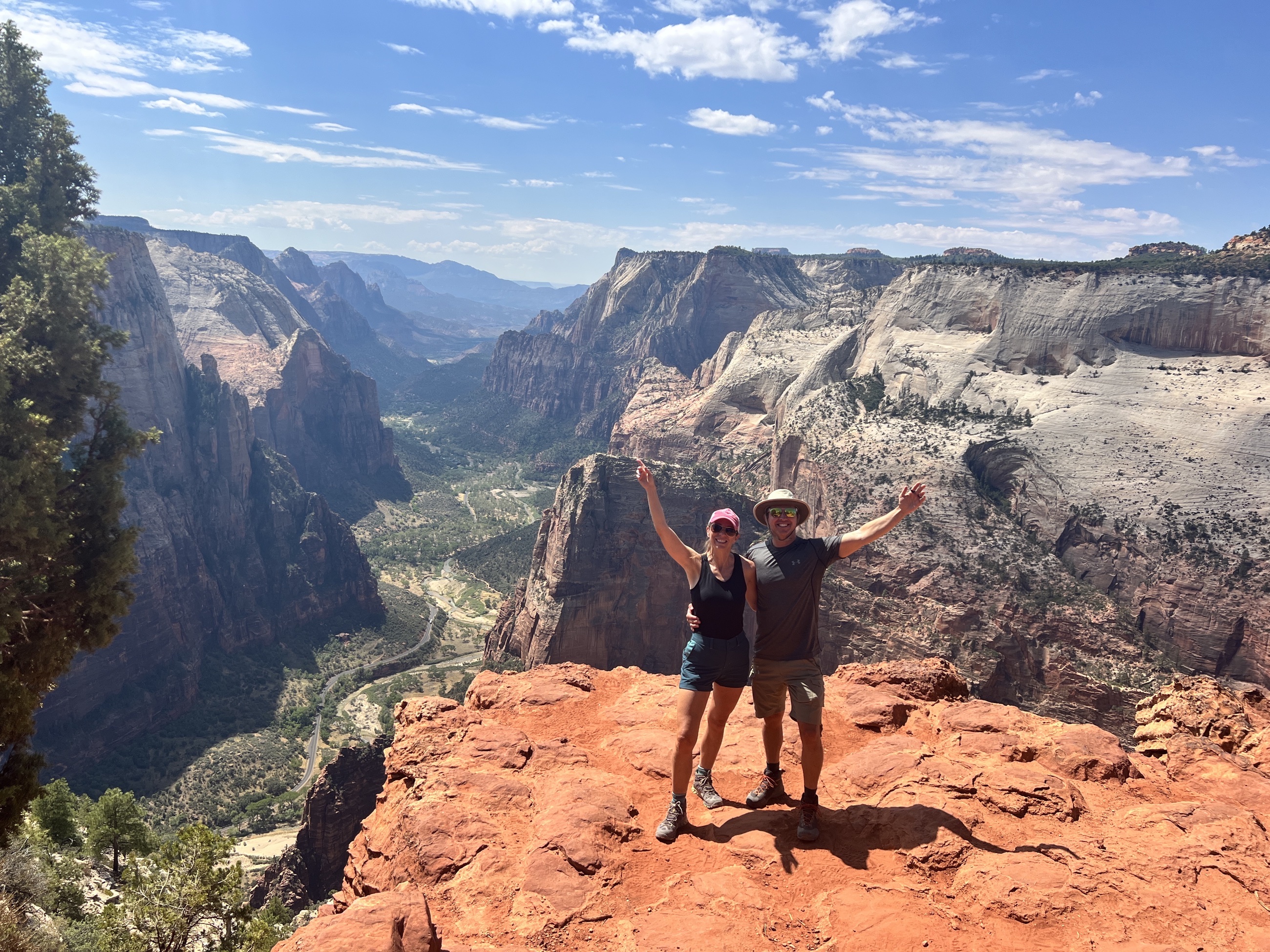 Observation Point: the “wow” moment seeing the whole canyon.
From 6,508 feet, the canyon arranged itself differently. The river, the walls, and Angels Landing all became part of one visible system. After the Narrows, where attention had narrowed to the next stone underfoot, Observation Point gave the opposite lesson. It put the same landscape into a wider frame.
What Zion Made Plain
Zion is crowded for understandable reasons. It is also large enough, varied enough, and demanding enough to resist being reduced to a single famous view. The river hike and the rim view worked as a pair, each one sharpening the other.
The Narrows required immediate attention. The current, stones, and canyon walls made abstraction useless. Observation Point restored proportion, showing the path of the river from above and placing the day’s smaller difficulties inside a much larger form.
That contrast made Zion a strong preparation piece for the longer travel ahead. Good movement is not only forward motion. Sometimes it means simplifying the kit, entering the current carefully, accepting the limits of the day, and then climbing high enough to see how the pieces fit together.
Practical Notes
- Route: We drove about 550 miles from Reno to Zion, using the Nevada high desert route as part of the story rather than treating it only as transit.
- Best Narrows decision: Pick up rental gear the evening before. It saves time in the morning and helps you start before the heaviest heat and crowd pressure.
- Narrows gear cost: Zion Outfitter warm-weather packages were $32 per person per day, or $64 total for two.
- Park entry: Zion entry was $35 per vehicle, or covered by the America the Beautiful annual pass.
- Camping: Hurricane Cliffs BLM camping was free and about 15 to 20 minutes from the park.
- Camping coordinates: The source issue listed Hurricane Cliffs BLM land at GPS 37.1892, -113.2156.
- Food and drink: Oscar’s, Bit & Spur, and Deep Creek Coffee came to about $146 for the Zion chapter, with other meals brought along.
- Total chapter cost: The source issue estimated about $210 for two people over two days, excluding the annual park pass already owned.
- Gear lesson: Keep the Narrows kit simple, secured, and waterproofed. Loose accessories are easy to lose in the current.
- Observation Point: The East Mesa route begins modestly but leads to one of the strongest broad views over Zion Canyon.
- Food note: Oscar’s portions were large enough to split. Bit & Spur worked especially well after a river-hiking day.
- Field workflow: Water, crowds, and heat make Zion a place to plan shots carefully rather than overpack camera gear.