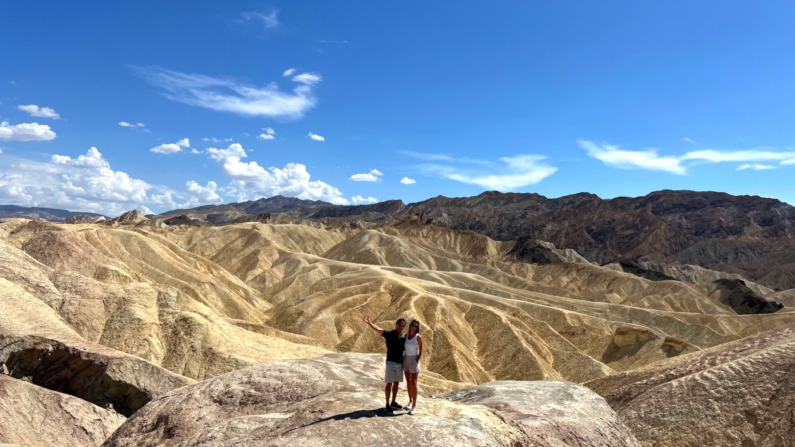
 Zabriskie Point, Death Valley National Park.
Some Great Place began with a series of American West field notes before the longer international journey. After Bryce Canyon, the route dropped toward a more severe landscape: Valley of Fire in Nevada, then Death Valley in California.
The names are direct. Valley of Fire is built around red Aztec sandstone that glows in the low light. Death Valley is a basin of heat, salt, distance, and exposure. Together, they made a short desert passage where the most important travel skill was judgment.
Watch the accompanying film: Salt & Fire: Exploring Death Valley & Valley of Fire’s Desert Extremes
Valley of Fire in Triple-Digit Heat
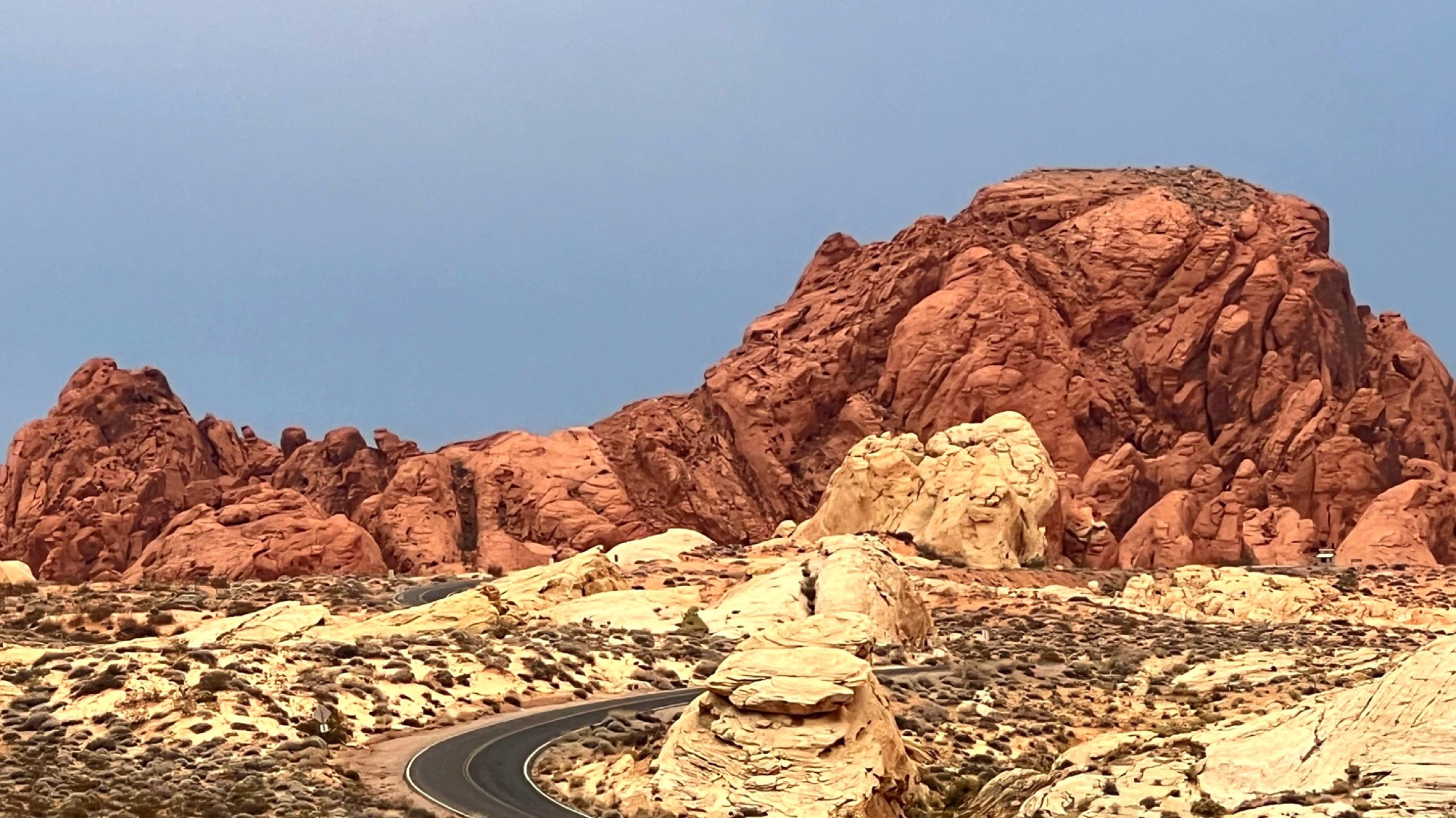 Valley of Fire State Park.
We arrived at Valley of Fire State Park as the temperature moved past 100°F. The original plan had been to camp under the stars, but the desert did not become cool enough after sunset to make that sensible. Overnight temperatures were still expected to remain around 85°F, so we changed course and booked a hotel in nearby Overton, close to Lake Mead National Recreation Area.
That decision changed the shape of the visit without taking away the reason for being there. After dinner and air conditioning, we drove back into the park for evening light along the scenic drive.
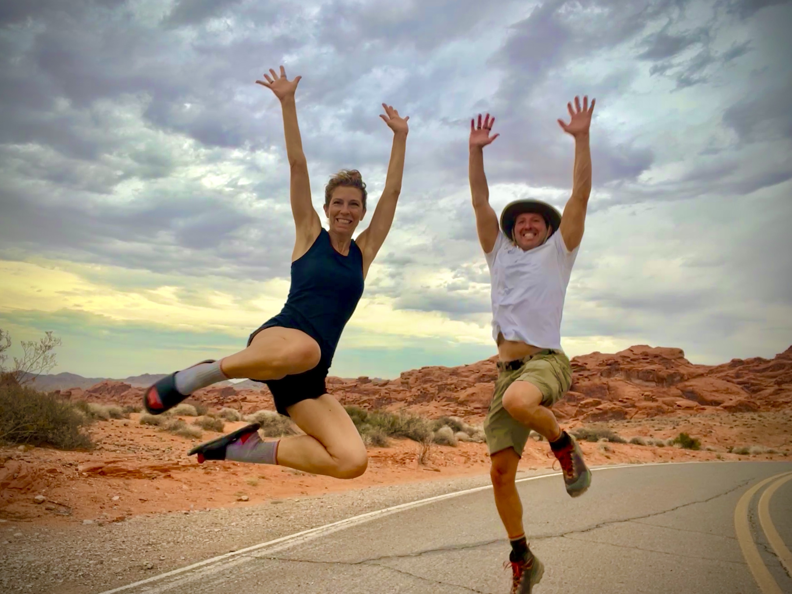 Joy at 100°F in Valley of Fire.
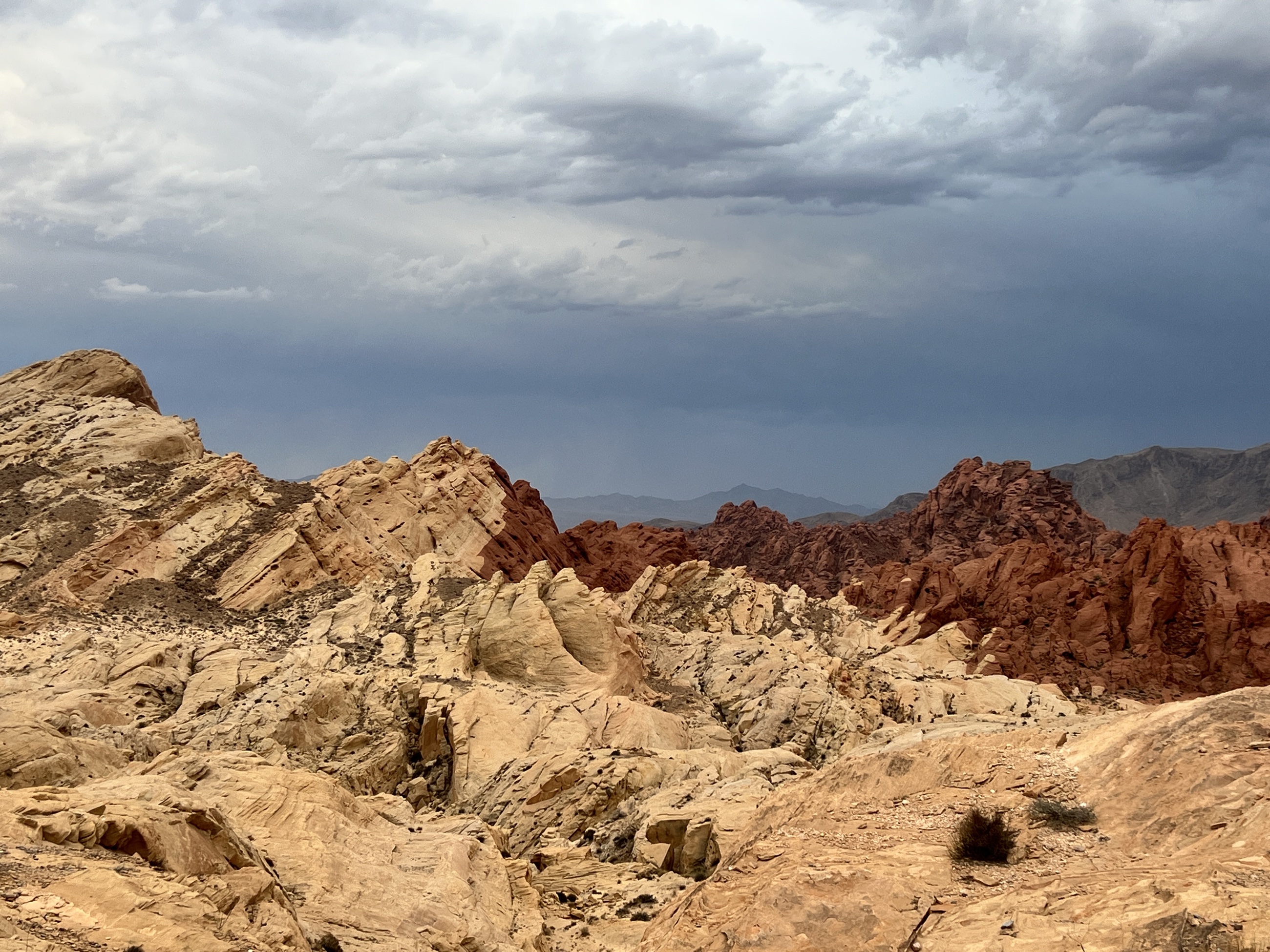 Contrasting sandstone ridges under storm-streaked skies.
The park is compact enough to experience in a few hours, especially in high heat, but it does not feel small. Red rock walls, domes, ridges, and pockets of wind-shaped stone shift constantly with the angle of the sun. By evening, the sandstone took on the color that gives the park its name.
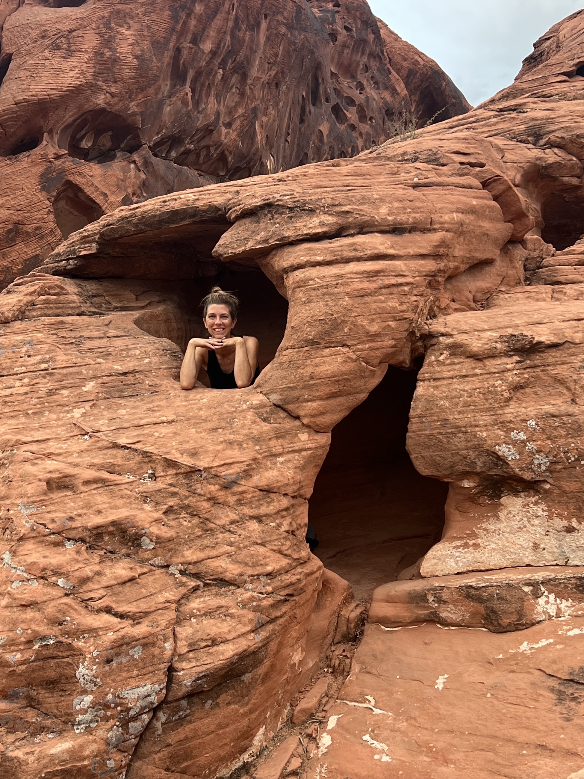 Desert hide-and-seek in the red rocks.
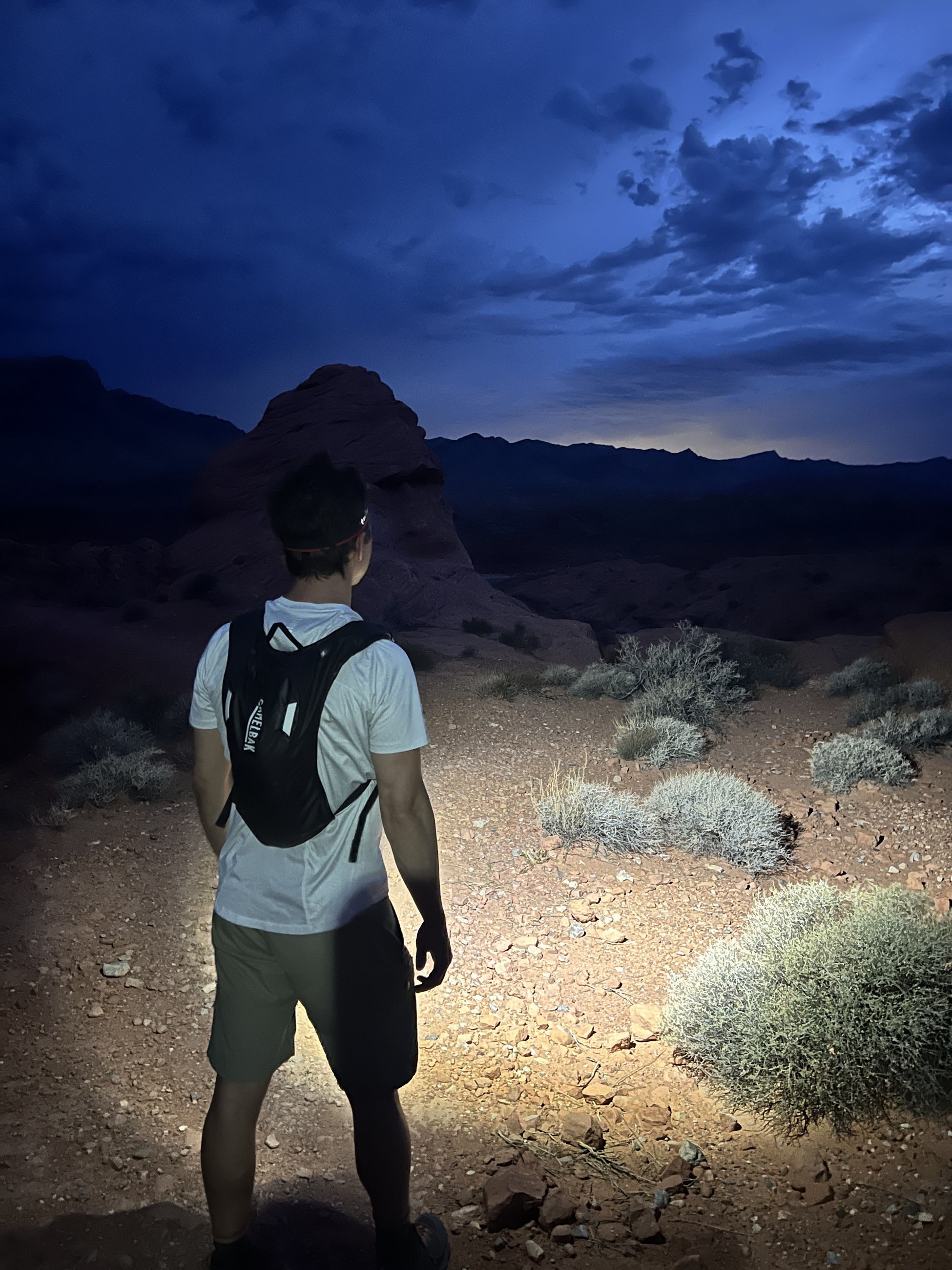 Night hike glow under desert skies.
We stopped at overlooks, moved carefully around the sandstone, and visited Atlatl Rock before the light faded. After dark, headlamps made a short walk possible. Heat still radiated from the stone. The missed camping night became a better desert lesson than the original plan: comfort is sometimes the condition that makes attention possible.
Death Valley Below Sea Level
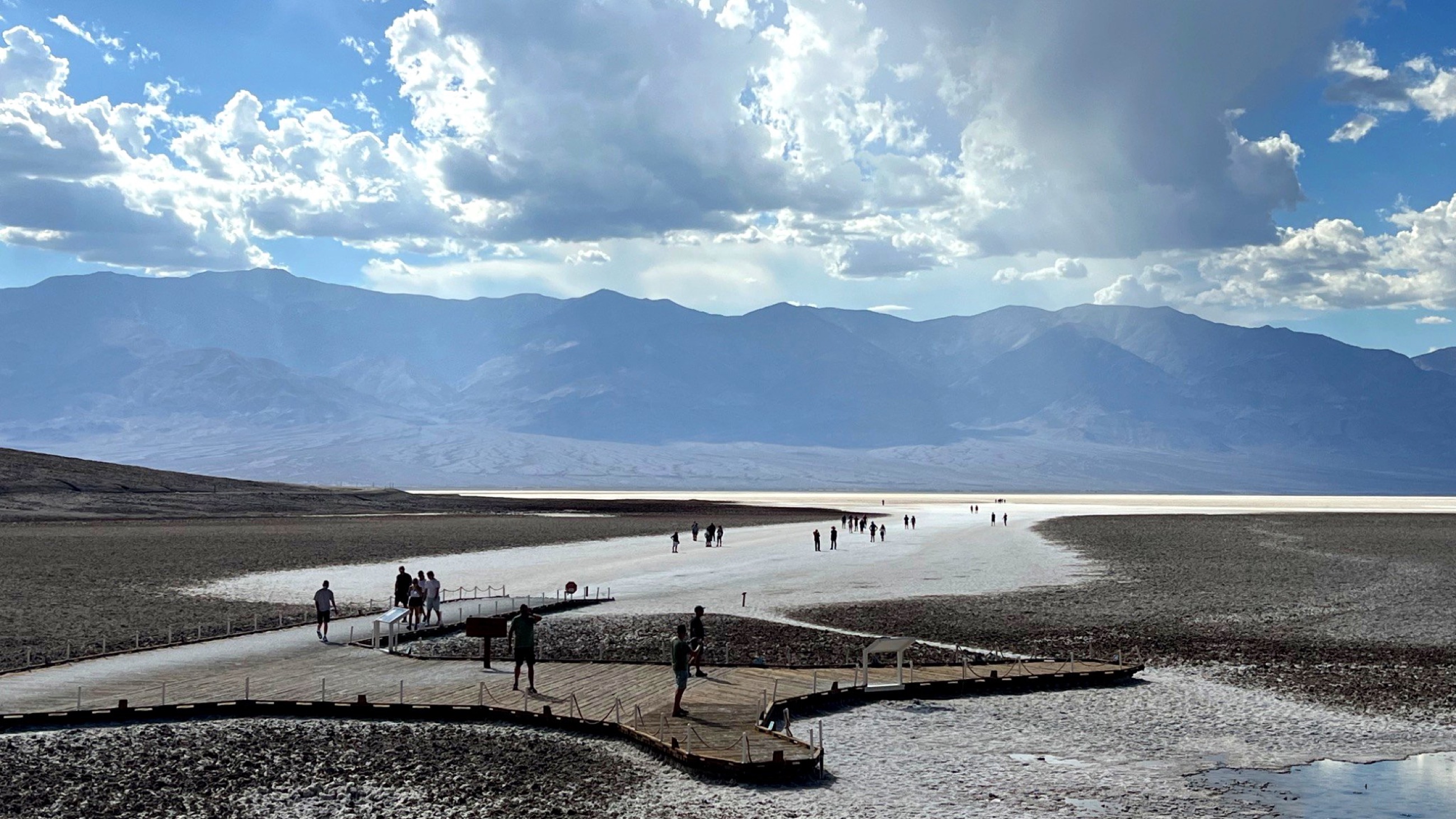 Badwater Basin, Death Valley National Park.
Two days later, we were standing at Badwater Basin in Death Valley National Park, 282 feet below sea level. The valley also carries the record for the hottest air temperature ever recorded on Earth: 134°F in 1913. During our September visit, the temperature was lower, but still punishing at 115°F.
We began at Zabriskie Point, looking across golden badlands in morning light, then followed Artist Drive through mineral-stained canyons. Pink, green, cream, and lavender tones appeared along the hillsides, a softer palette inside one of the least forgiving environments in North America.
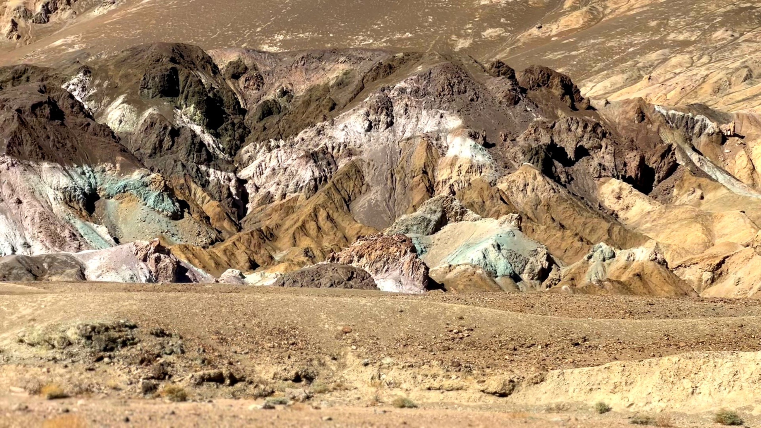 Mineral-streaked hillsides along Artist’s Palette.
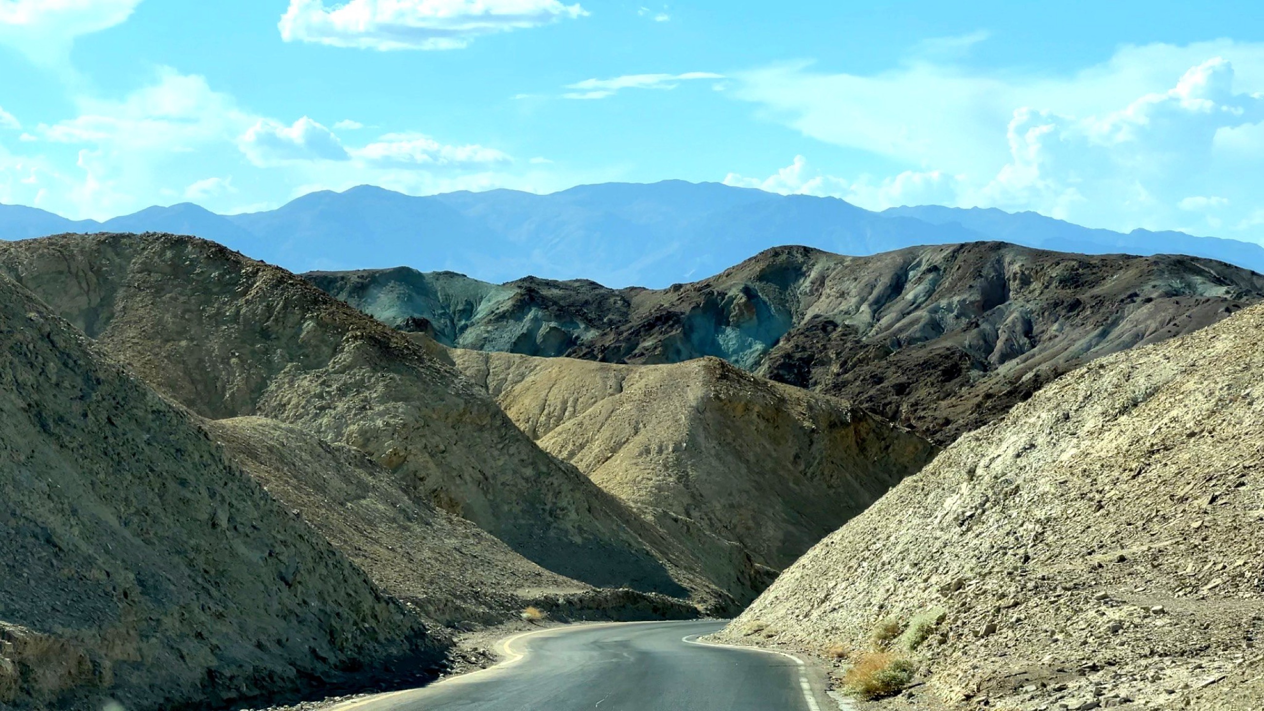 Winding through the colors of Artist Drive.
At Badwater Basin, we walked out onto the salt flats for a short stretch. The ground crackled underfoot, crystallized remains of an ancient lake now compressed into salt. The white surface looked almost delicate from a distance, but the heat made every minute feel consequential.
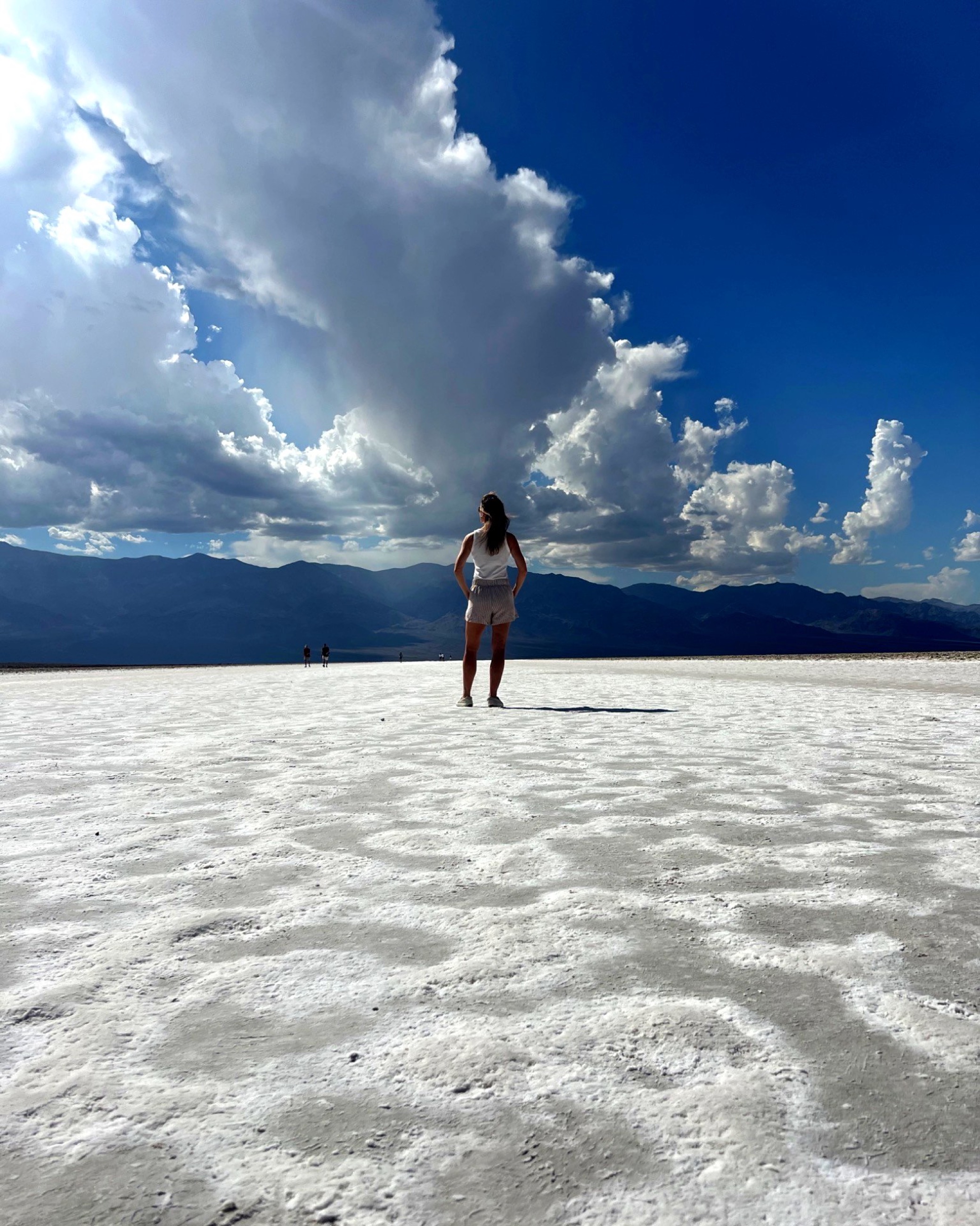 Salt crust at Badwater Basin.
Heat, Scale, and Desert Decisions
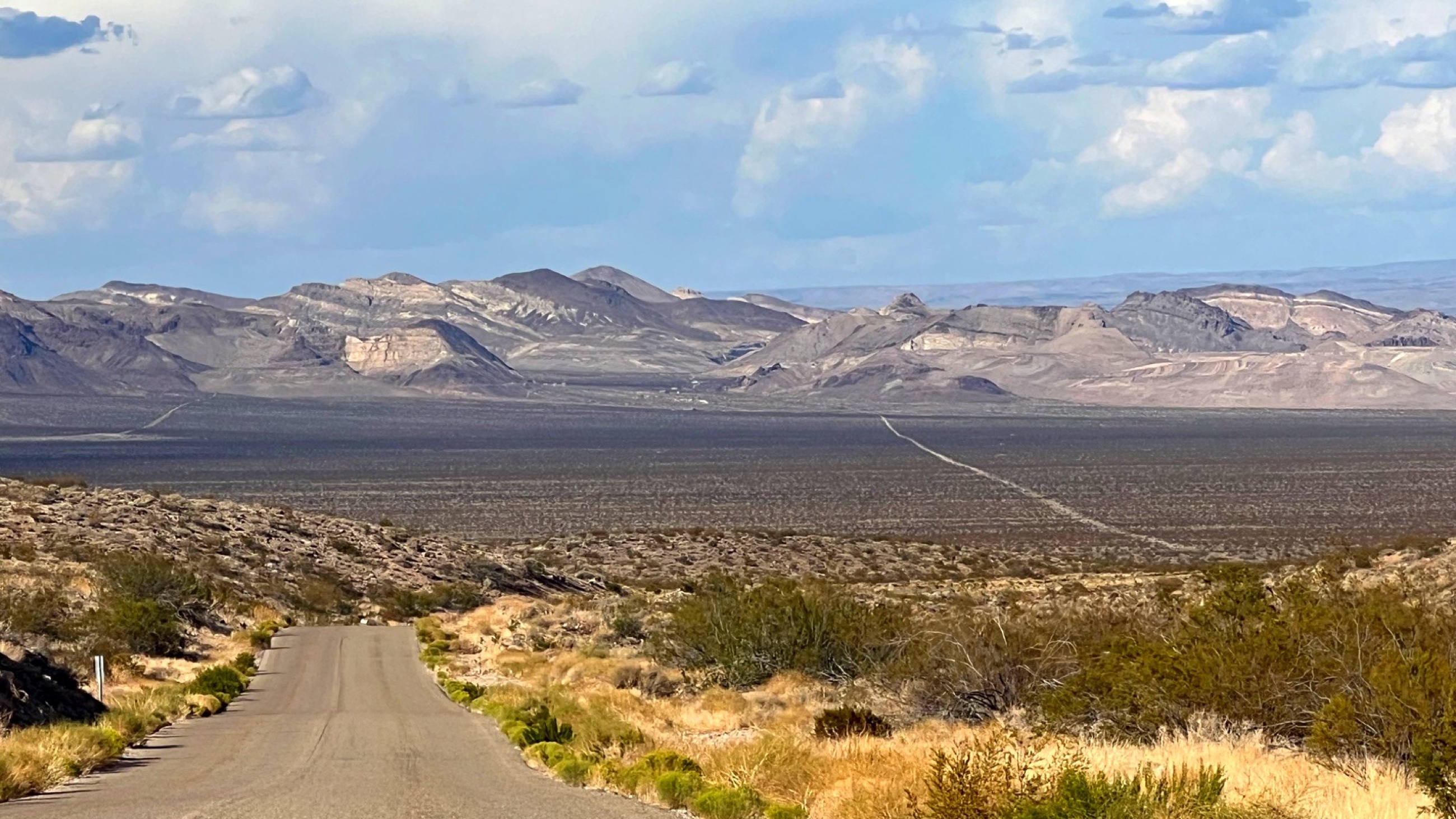 Endless miles of desert road.
Every decision in this stretch of the trip started with the heat. In Valley of Fire, some trails were closed for the season because conditions were unsafe. In Death Valley, we limited outdoor exposure to short stops, kept water close, and used the car as part of the safety plan rather than as a compromise.
Death Valley also changes how distance feels. On a map, the route can look manageable. On the ground, the park stretches for more than 100 miles from end to end, and a scenic drive can consume hours. Fuel, water, shade, and timing matter.
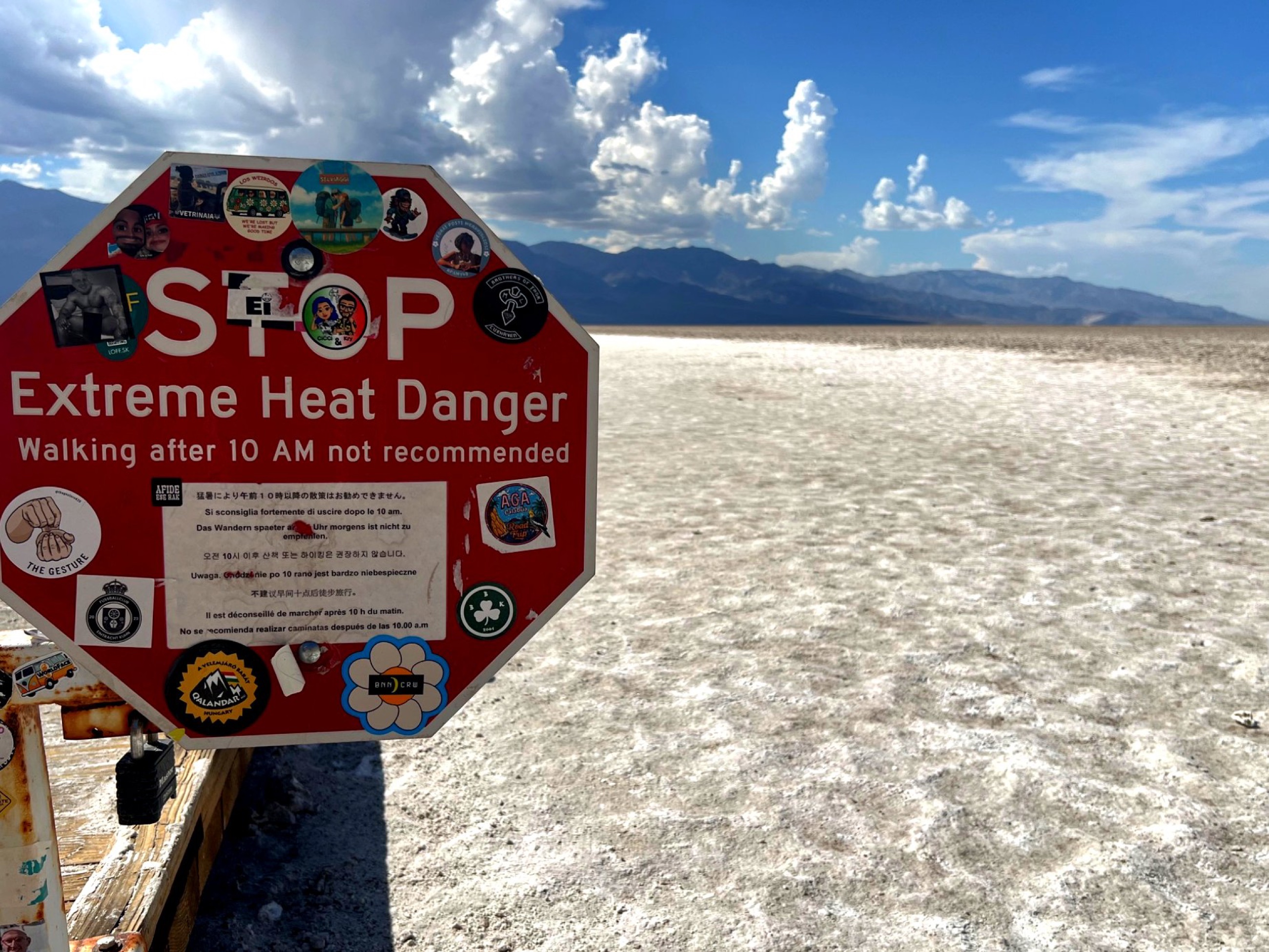 Extreme heat warning in Death Valley.
The practical pattern held: start early, carry more water than seemed necessary, use electrolytes, keep snacks in the car, and avoid treating short trails as harmless. In this environment, ordinary mistakes become serious faster than they do in milder places.
Older Marks on Harsh Ground
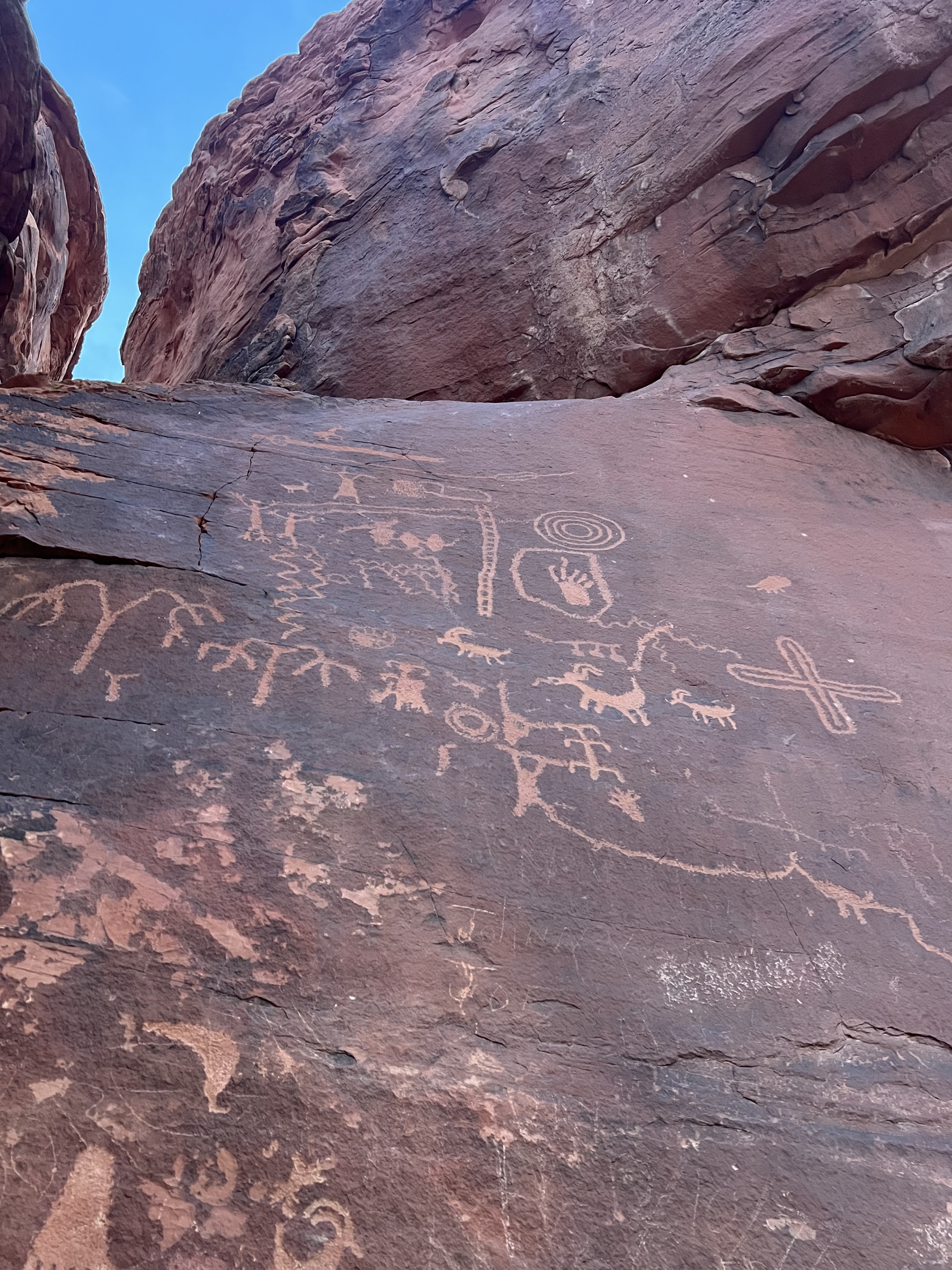 Petroglyphs at Atlatl Rock.
Valley of Fire became Nevada’s first state park in 1935, but the land’s human history is much older. At Atlatl Rock, petroglyphs carved by Ancestral Puebloan people more than 2,000 years ago remain visible on the stone, adding human presence to a landscape often described only through geology.
Death Valley carries a different kind of cultural record. For the Timbisha Shoshone people, the valley has long been home, with knowledge of seasonal movement, water sources, and survival in a landscape many visitors now experience mainly through extremes. Later mining activity, including borax extraction, left another set of traces: evidence of endurance, ambition, and hard use.
The desert is often introduced through superlatives: hottest, driest, lowest. Those facts matter, but they are incomplete. The deeper story includes adaptation, travel routes, Indigenous knowledge, mining history, and the practical limits of the body in heat.
Modern travel makes that same ground far more survivable than it once was. Air conditioning, sealed water systems, and paved roads turn a landscape that could kill an unprepared traveler in hours into something safe to stand inside for a few careful minutes at a time. That gap, between what the land demands and what modern gear provides, is easy to forget when the trip feels effortless.
What We Ate
Meals stayed minimal because the environment demanded it. On the way through St. George, we stopped at Harmons Grocery and picked up prepared food for dinner: Tuscan pasta, curry chicken, and an Ironman salad. The total was $21, and it was exactly the right kind of meal for a night built around heat, driving, and a return to the park for sunset.
In Death Valley, the central food and drink ritual was hydration. We kept gallon jugs in the car, filled bottles with ice when we could, and used electrolyte packets to stay ahead of the heat. In that kind of heat, cold water becomes less like a convenience and more like the main provision.
A Short Encounter with Extremes
This was a short desert chapter, but it clarified something useful about travel in country like this. Toughness was never the point. Attention was, paying enough to notice conditions without pretending the place is safer or easier than it is.
Valley of Fire gave us sandstone at sunset, petroglyphs on high rock, and the heat of stone after dark. Death Valley gave us badlands, mineral color, salt, distance, and the physical fact of exposure. Both places rewarded restraint. The more carefully we moved, the more we could see.
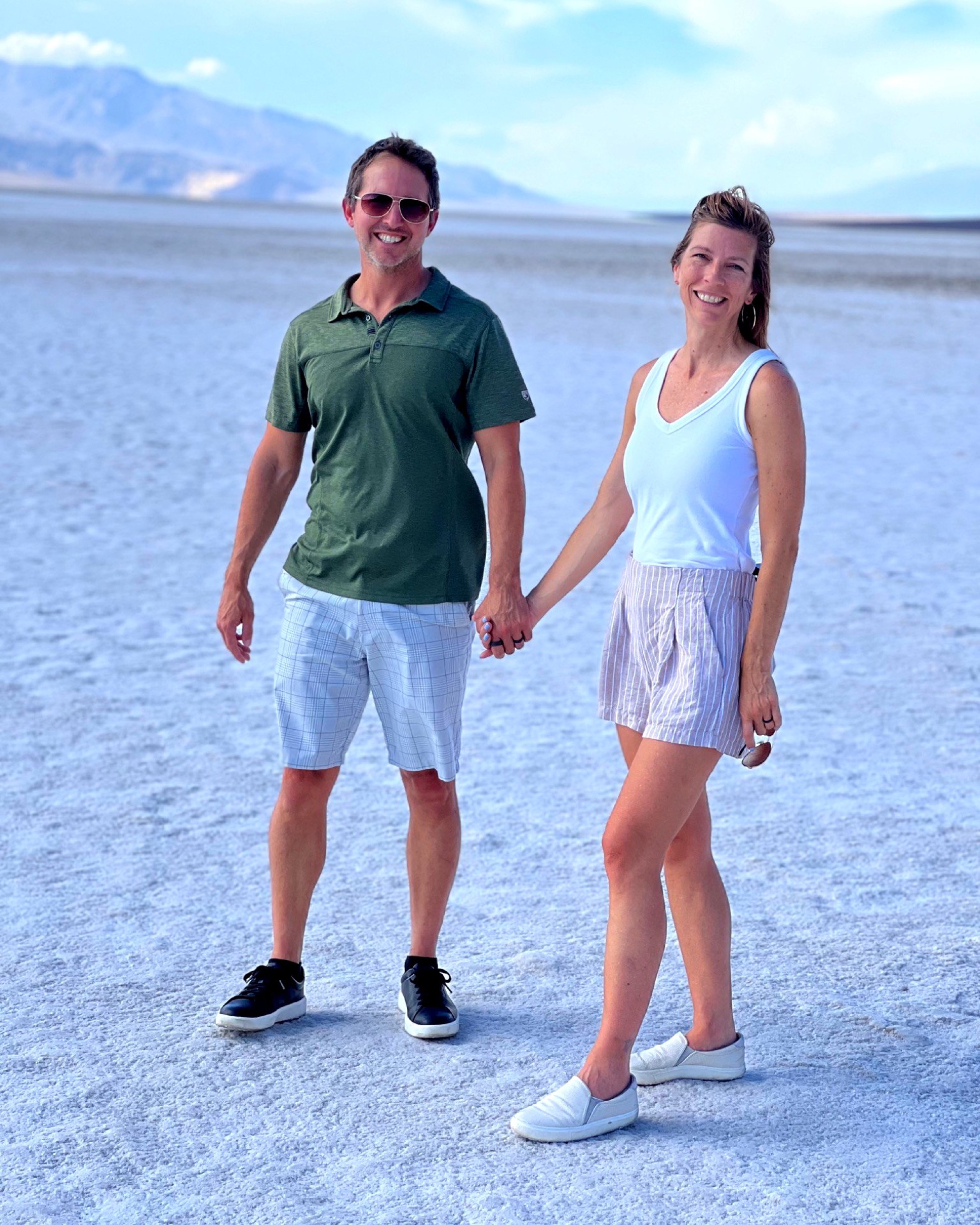 A last stop on the salt flats before the heat pushed us back to the car.
Practical Notes
- Route: Valley of Fire State Park in Nevada, then Death Valley National Park in California.
- Best timing in high heat: Early morning and evening. Avoid midday walks when temperatures are extreme.
- Heat closures: Check current park conditions before committing to hikes. Seasonal closures are real and should be treated seriously.
- Lodging pivot: A hotel in Overton, the North Shore Inn ($99), was a necessary safety and sleep decision after the Valley of Fire camping plan became unrealistic.
- Passes: The America the Beautiful pass covered Death Valley entry. A Nevada State Parks pass covered Valley of Fire, and pays for itself quickly if visiting more than one Nevada state park in a trip.
- Food: Harmons Grocery in St. George worked well for a prepared dinner before returning to Valley of Fire for sunset.
- Water and snacks: Carry more water than you expect to need, along with steady snacks like protein bars or meat sticks for between stops. Use ice and electrolytes when temperatures are high.
- Gas: Death Valley’s distances make fuel a bigger cost than shorter trips. Fill up before entering the park rather than counting on stations inside it.
- Driving: Death Valley is much larger than it looks on a basic map. Plan fuel, time, and water with distance in mind.