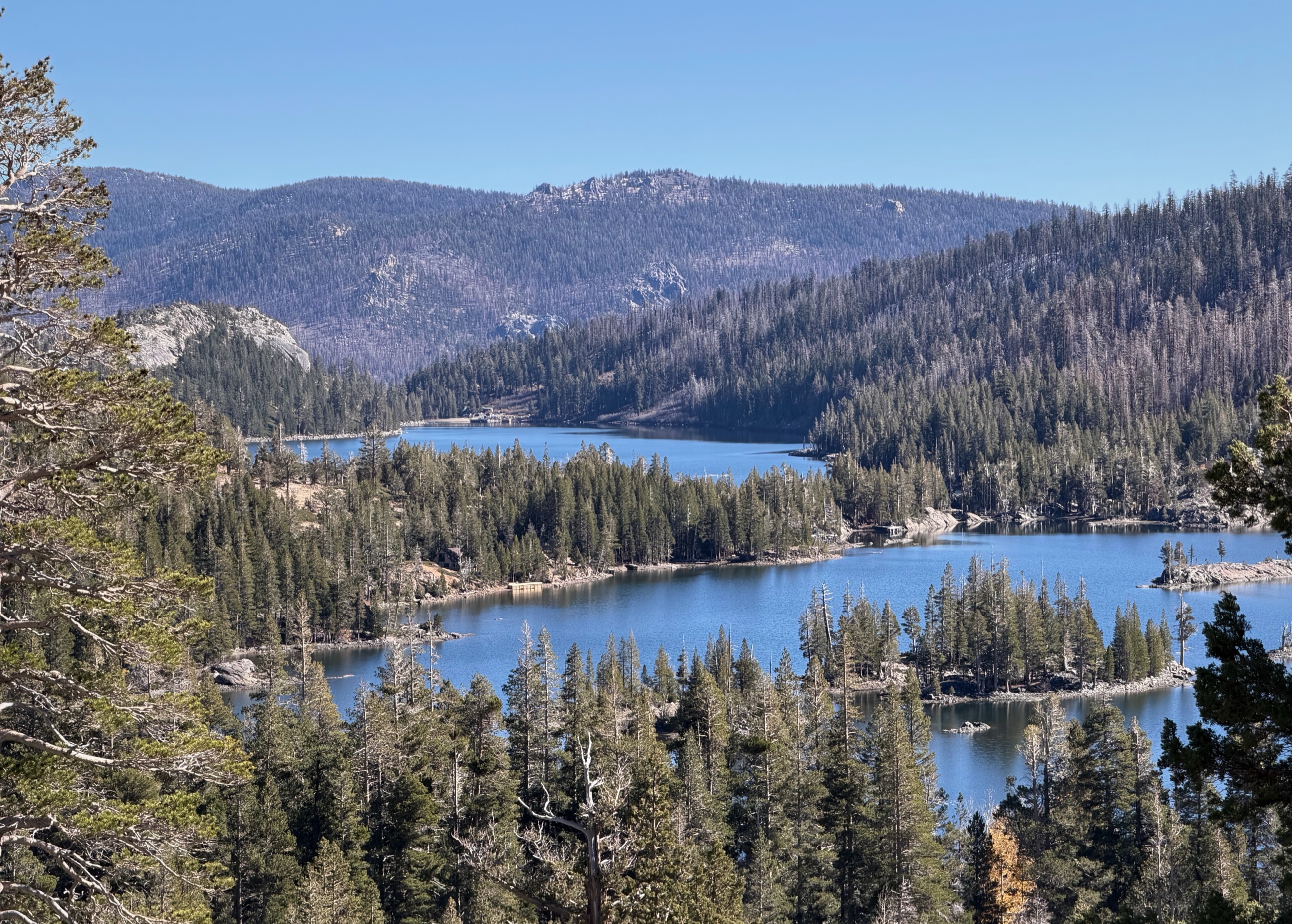
 Echo Lakes from the trail into Desolation Wilderness.
By the final week of October, the Sierra hiking season was drawing toward its practical end. Fresh snow marked the higher ridges, daylight had shortened, and the next storm could change the trail entirely. A clear weekend offered one more opportunity to walk into the high country before autumn gave way to winter.
From Reno, we drove west toward Echo Summit and the trailhead above Echo Lakes. The route would take us approximately eight miles out and back, following part of the Pacific Crest Trail before turning toward Tamarack Lake in Desolation Wilderness.
The morning was clear and cold, temperatures in the mid 40s at the trailhead and climbing into the low 60s as the sun rose over the ridges. Snow remained in shaded sections and along the higher slopes, while the exposed granite had dried in the sun. The trail was largely empty, and the contrast between bare rock, dark forest, blue water, and fresh snow made the season visible throughout the day.
Watch the accompanying film: Echo to Tamarack Lake | The Most Peaceful Hike in Desolation Wilderness
From Echo Lakes
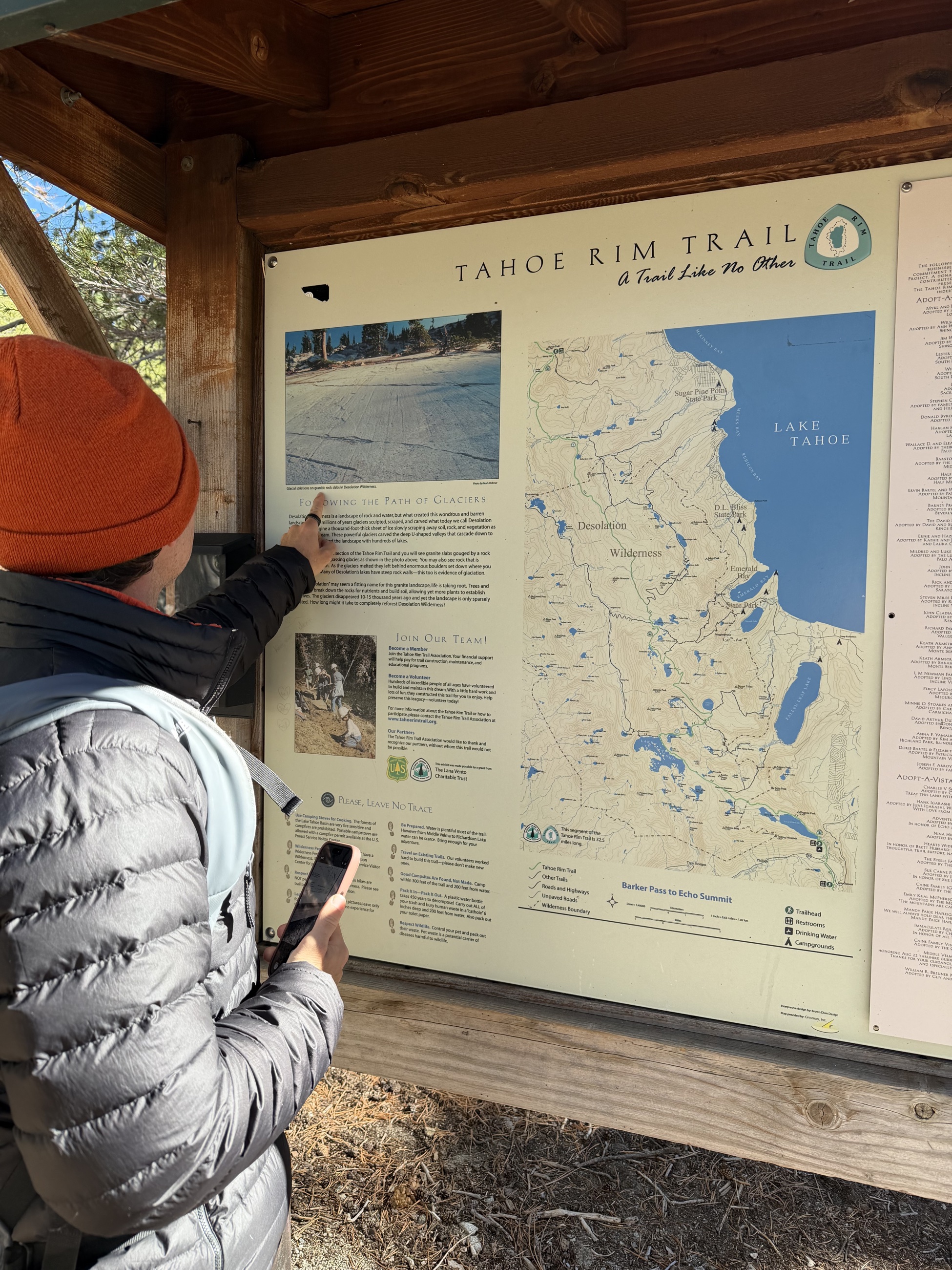 Reviewing the route before leaving the Echo Lakes trailhead.
The trail began near the southern end of Lower Echo Lake, where stone rises directly from the water. Seasonal cabins occupied parts of the shoreline, but the basin had already taken on its late-season character. Summer services had ended, the water taxi was no longer part of the day, and most visitors were carrying everything they needed on foot.
The opening miles followed the northern side of the Echo Lakes basin. The path gained height gradually, crossing exposed rock and passing through stands of pine. Below, the lakes stretched between narrow shorelines, small islands, and forested slopes.
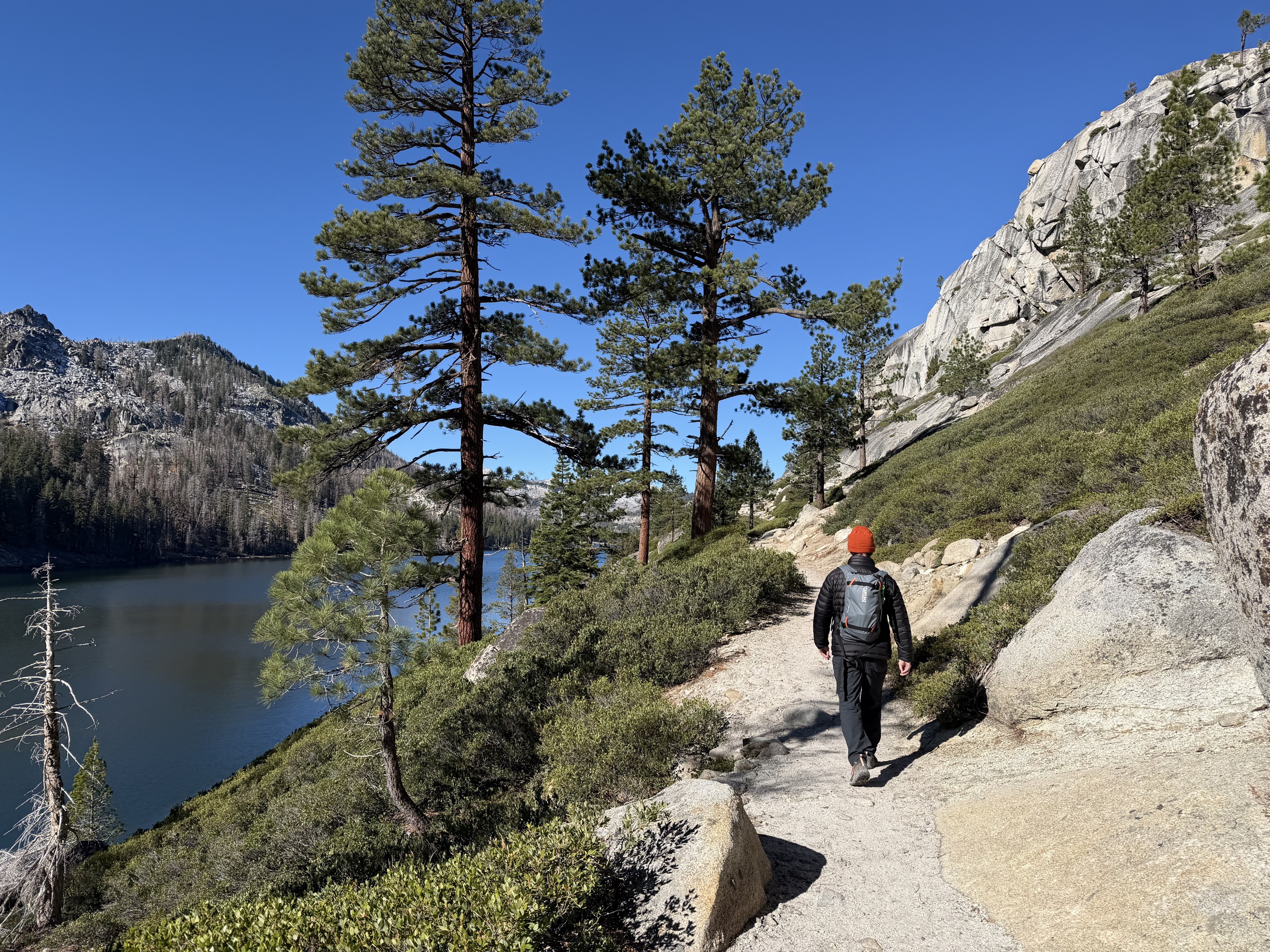 The trail follows the rock slope above Echo Lakes.
The surface changed frequently. Some sections followed a recognizable dirt path. Others crossed broad stone faces where the route was indicated by wear, the shape of the terrain, or the continuation of the trail ahead. The walking was straightforward in dry conditions, though the uneven granite required steady attention.
Echo Lakes remained visible through much of this first stage. Each rise opened a slightly different view of the basin, making progress easy to measure against the water below.
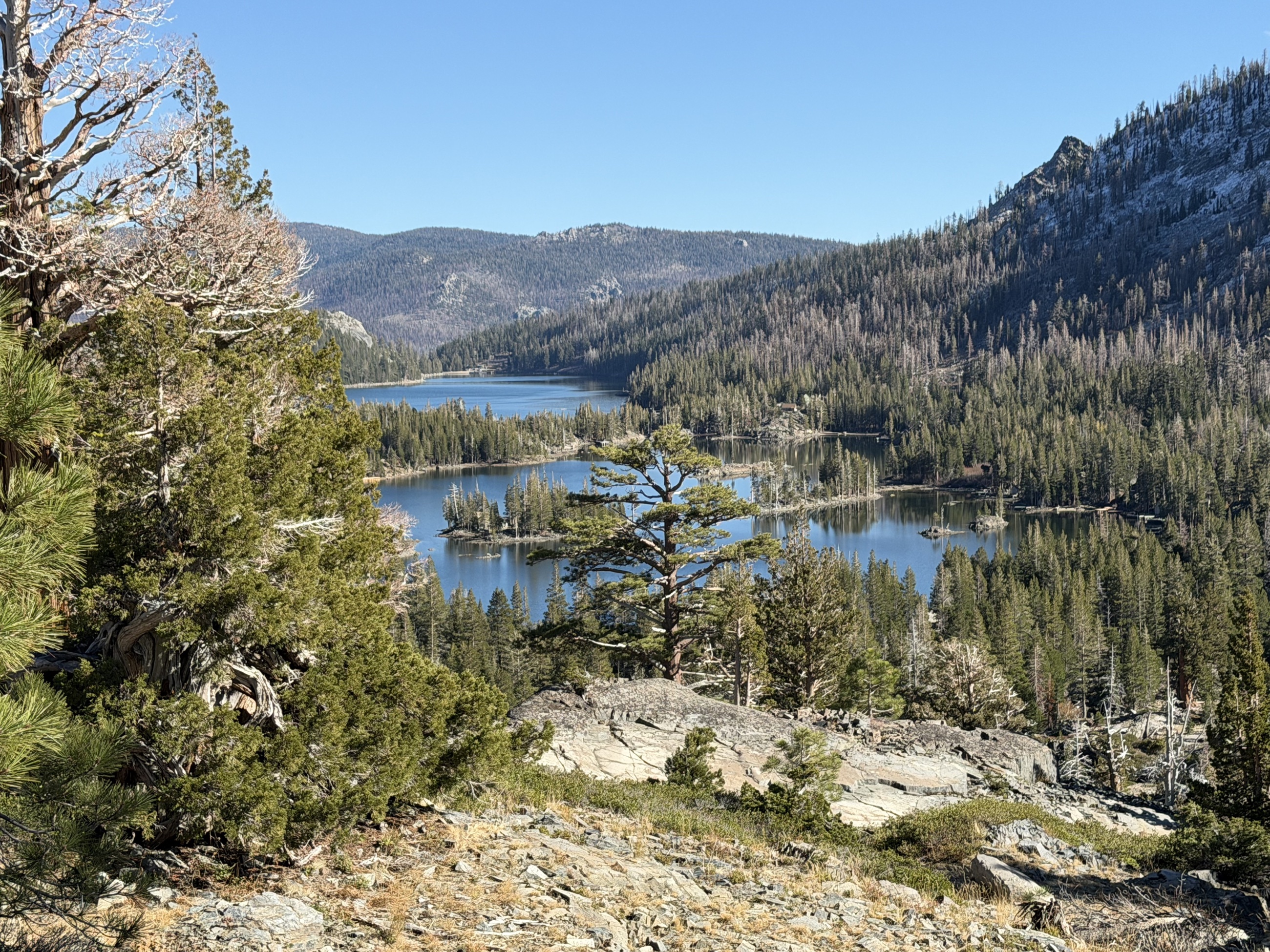 The linked basins of Echo Lakes seen from higher on the trail.
Along the Pacific Crest Trail
This portion of the route followed the Pacific Crest Trail into Desolation Wilderness, crossing stone shelves and conifer forest with repeated views over the lakes below.
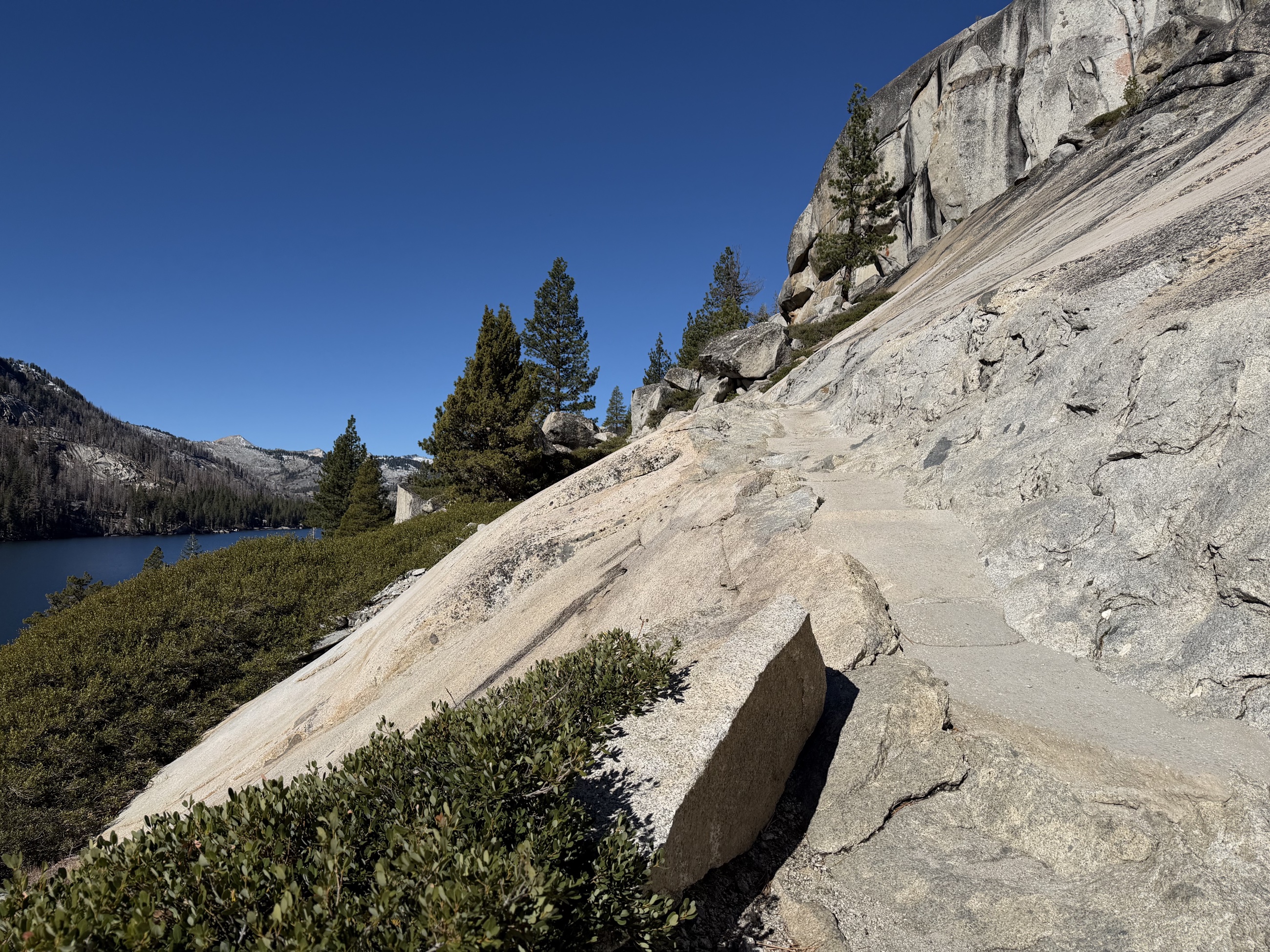 An exposed rock face along the trail above the lake.
The landscape alternated between open rock and shaded forest. Sunlight warmed the exposed slopes, while colder air settled beneath the trees. Snow remained where direct light had not reached it, especially along the edges of the trail and in protected depressions. It gave definition to the upper ridges.
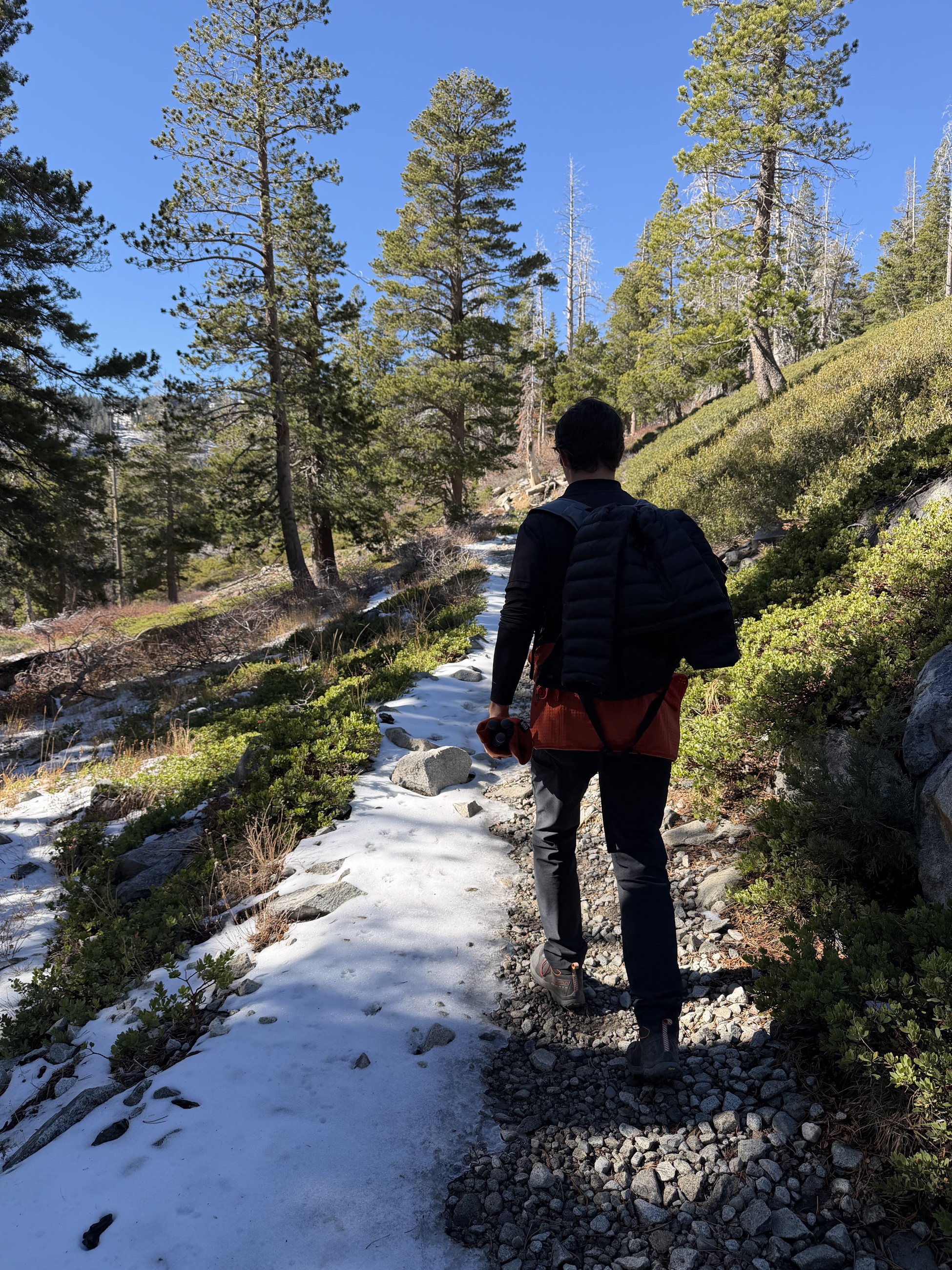 Snow remained on shaded sections of the trail.
The relative absence of other hikers was largely a matter of timing. Summer traffic had receded, seasonal operations had wound down, and many people had already shifted away from the high country. We passed a few others during the day, but long stretches of the trail were empty.
Toward Tamarack Lake
The approach to Tamarack Lake moved away from the broadest views of the Echo Lakes basin. The route entered more enclosed terrain, crossing broken rock and intermittent snow as it continued toward the smaller lake.
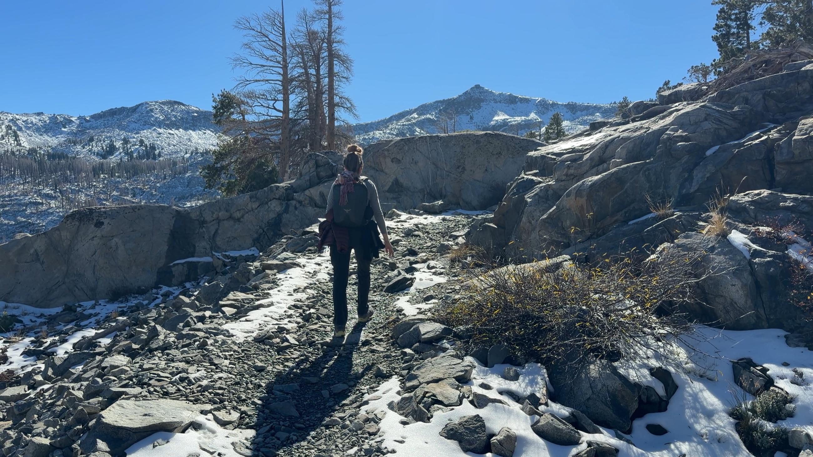 The final approach crossed broken rock and patchy snow.
By then, the elevation was as noticeable as the distance. The thinner air left both of us breathing harder than the mileage alone suggested, and the effort felt exhilarating: cold air in the morning shade giving way to full sun and a clear sky by the time we reached this stretch.
Tamarack Lake
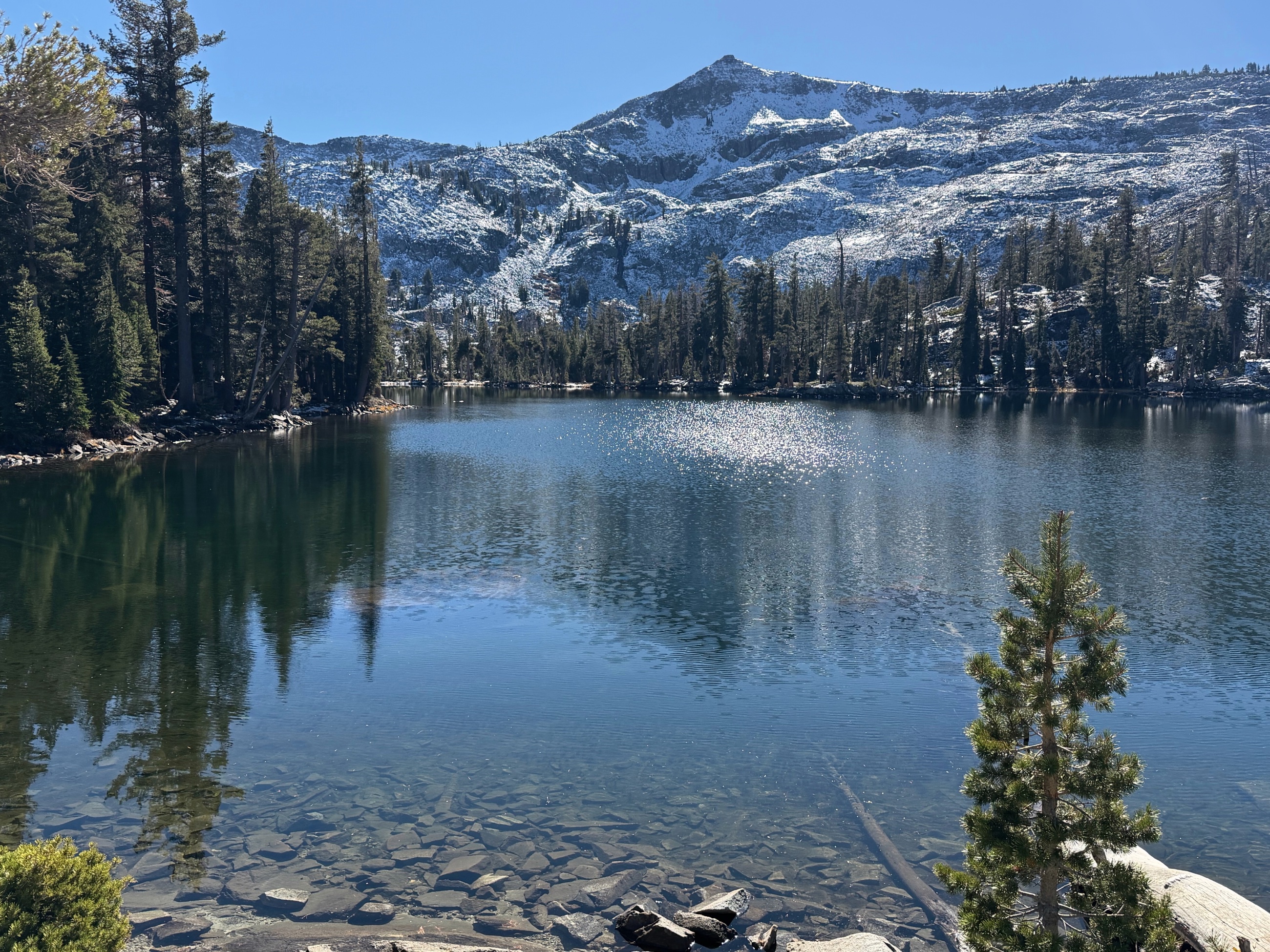 Tamarack Lake beneath the first snow of the Sierra season.
Tamarack Lake provided the natural turnaround point. Pines and stone enclosed much of the shoreline, and the higher slopes beyond the water carried a thin covering of snow. The immediate area remained warm enough in the sun for a comfortable stop.
We rested beside the lake, eating protein bars, nuts, and dried fruit for lunch and filtering water from the lake to refill our hydration packs before beginning the return.
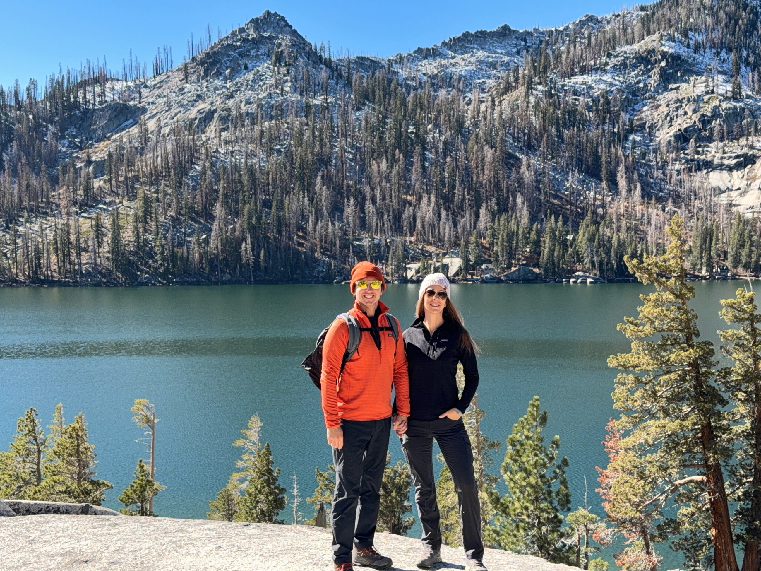 At Tamarack Lake before beginning the return to Echo Lakes.
Returning Above the Lakes
The return followed the same path, but the reversed direction changed what stood out. Views that had been behind us on the outward walk opened ahead, and the Echo Lakes basin gradually reappeared between the trees and granite slopes.
Fatigue changed how the trail felt. Stone steps and uneven crossings that had seemed incidental in the morning demanded more concentration. Snow in the shaded sections had softened or melted in places, while exposed granite remained dry under the afternoon sun.
The shortened autumn day left less margin for error. A late start in summer might leave hours of usable light; this late in the season, there was little to spare. We kept a steady pace toward the trailhead as the sun lowered across the basin, reaching the car as the sun neared the mountain ridgeline.
At the Edge of the Hiking Season
The trails surrounding Lake Tahoe formed part of the larger landscape surrounding our life in Reno. This trailhead was roughly two hours from home, close enough for a day hike and far enough to enter a markedly different environment. High-desert foothills gave way to Sierra granite, alpine lakes, conifer forest, and early snow. We saw the Sierra during that brief interval between seasons, after the busiest months and before winter fully established itself.
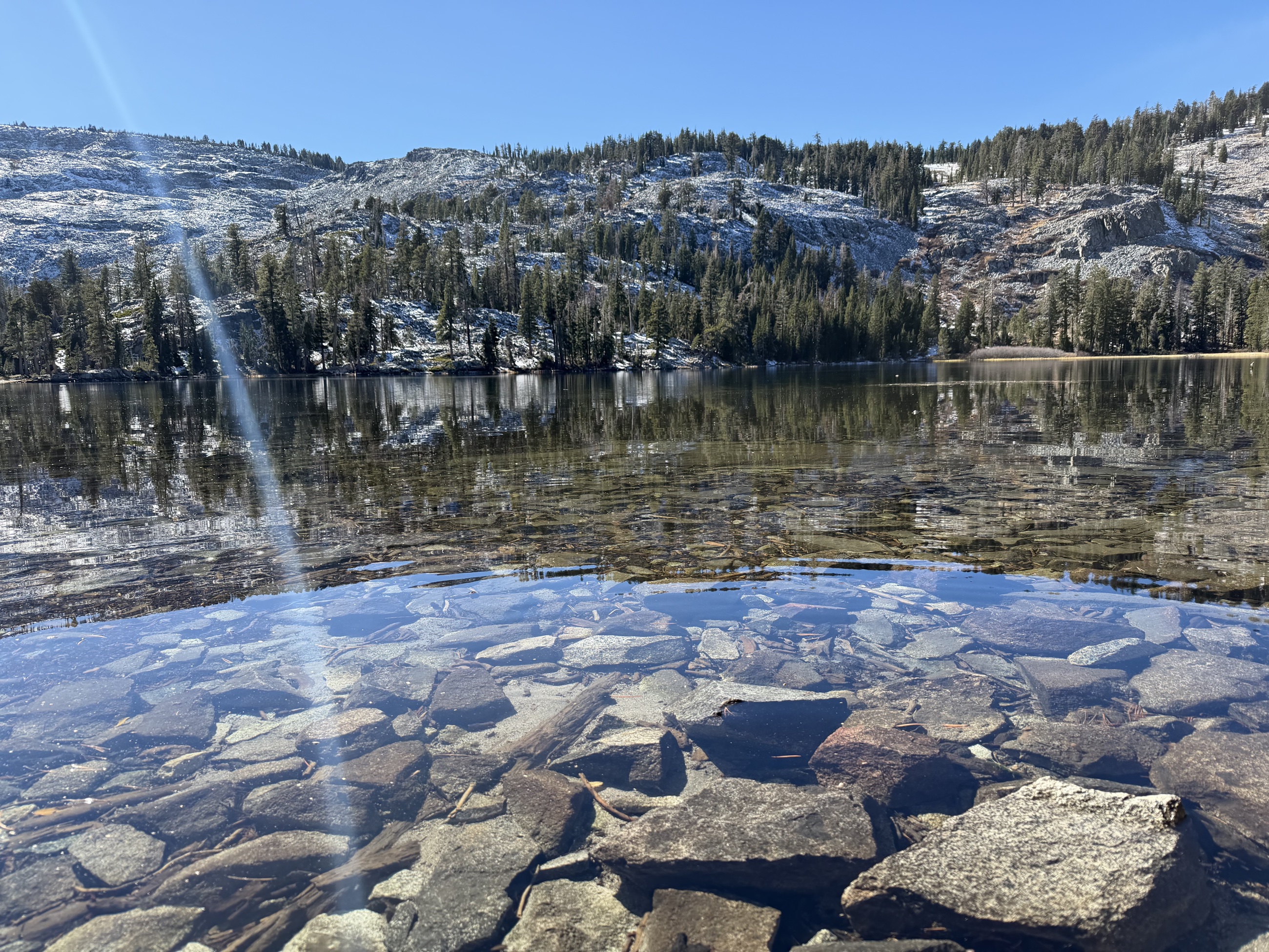 Water, granite, and early snow at Tamarack Lake.
Practical Notes
- Route: Echo Lakes Trailhead toward Tamarack Lake, using a section of the Pacific Crest Trail.
- Date hiked: October 28, 2025.
- Distance: 8.1 miles round trip.
- Elevation gain: Approximately 550 feet.
- High point: Approximately 7,900 to 8,000 feet near Tamarack Lake.
- Difficulty: Moderate. The route is nontechnical in favorable conditions, but elevation, granite surfaces, and uneven footing increase the physical demand.
- Trailhead: Echo Lakes Trailhead near Echo Summit, reached from U.S. Highway 50 by Johnson Pass Road.
- Parking and access: Conditions and available parking vary by season. Confirm road access and facility status before leaving.
- Season: The main hiking season generally runs from late spring into autumn. Snow can arrive early and change conditions quickly.
- Water: Carry sufficient water or bring a reliable treatment method for natural sources.
- Permits: Permit rules differ for day use and overnight travel. Confirm current Desolation Wilderness requirements with the U.S. Forest Service.
- Weather: Check the mountain forecast, recent snowfall, wind, and overnight temperatures. Conditions at elevation can differ substantially from Reno or South Lake Tahoe.
- Footwear: Use shoes or boots with reliable traction for granite, loose rock, wet ground, and possible snow or ice.
- Daylight: Begin early in late autumn, carry a headlamp, and establish a firm turnaround time.
- Navigation: Download an offline map before arriving. Granite surfaces and snow can make the route less obvious.