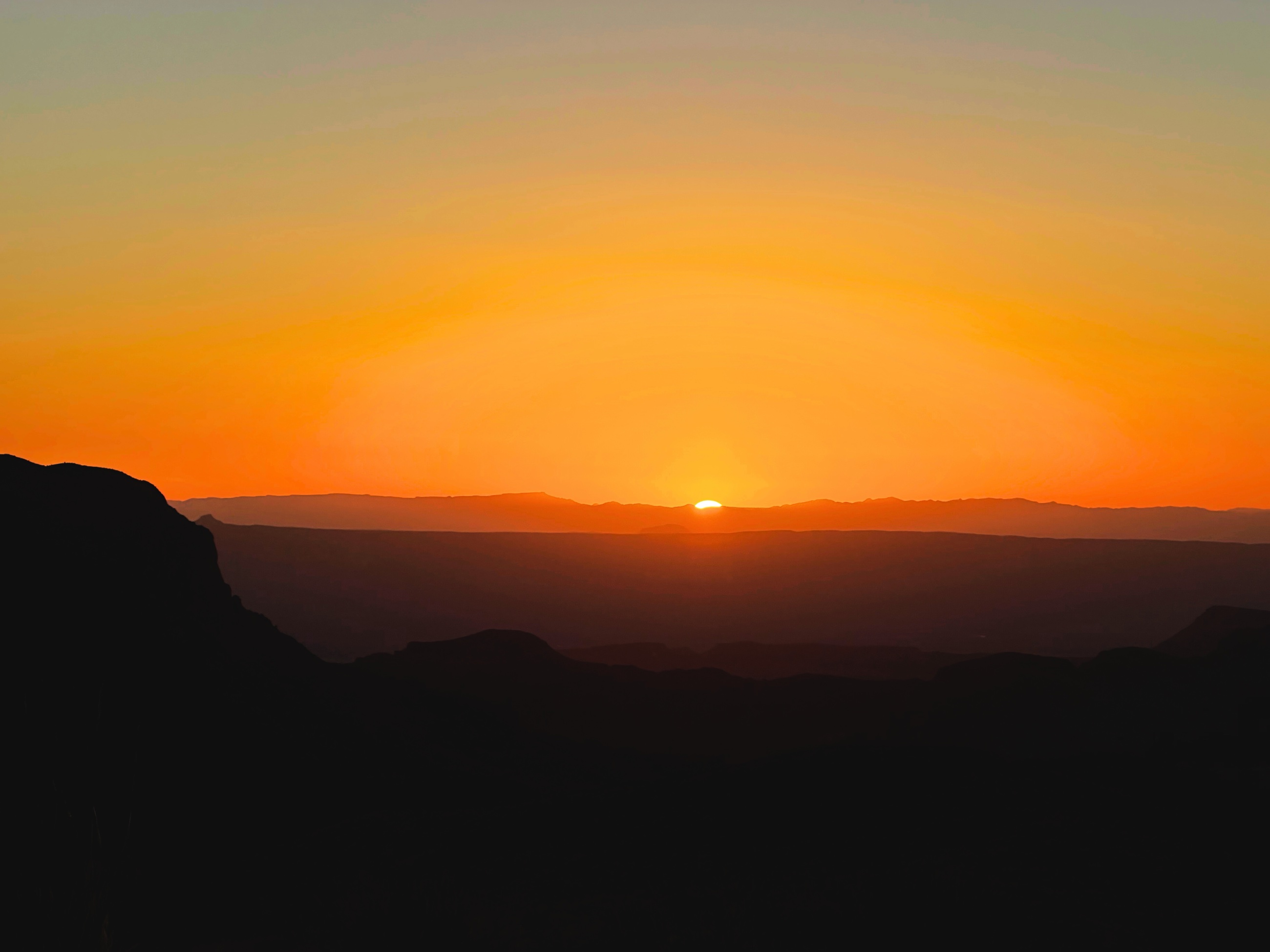
 Sotol Vista at sunset, Big Bend National Park.
Big Bend National Park sits along the Rio Grande in far West Texas, where open desert, volcanic hills, limestone walls, and a narrow line of water meet along the international border. The distances are large, services are limited, and nearly every day depends on deliberate choices about water, fuel, daylight, weather, and time.
We arrived during a period of preparation for a much larger transition. Big Bend reinforced a useful discipline: plan carefully, leave room to adapt, and recognize when the day has already given enough.
Watch the accompanying film: Big Bend National Park: Desert Light, River Walls, and Dark Skies
Distance Sets the Terms
Roads in Big Bend are long. Trailheads and overlooks sit far apart, and there is little reason to assume that food, fuel, water, or a reliable signal will appear when needed. Planning is part of the experience rather than an administrative step before it.
That practical reality sharpens attention. Wind, cloud cover, daylight, and fatigue begin to shape decisions more directly. The scale of the park discourages hurried movement because every added stop carries a real cost in distance and time.
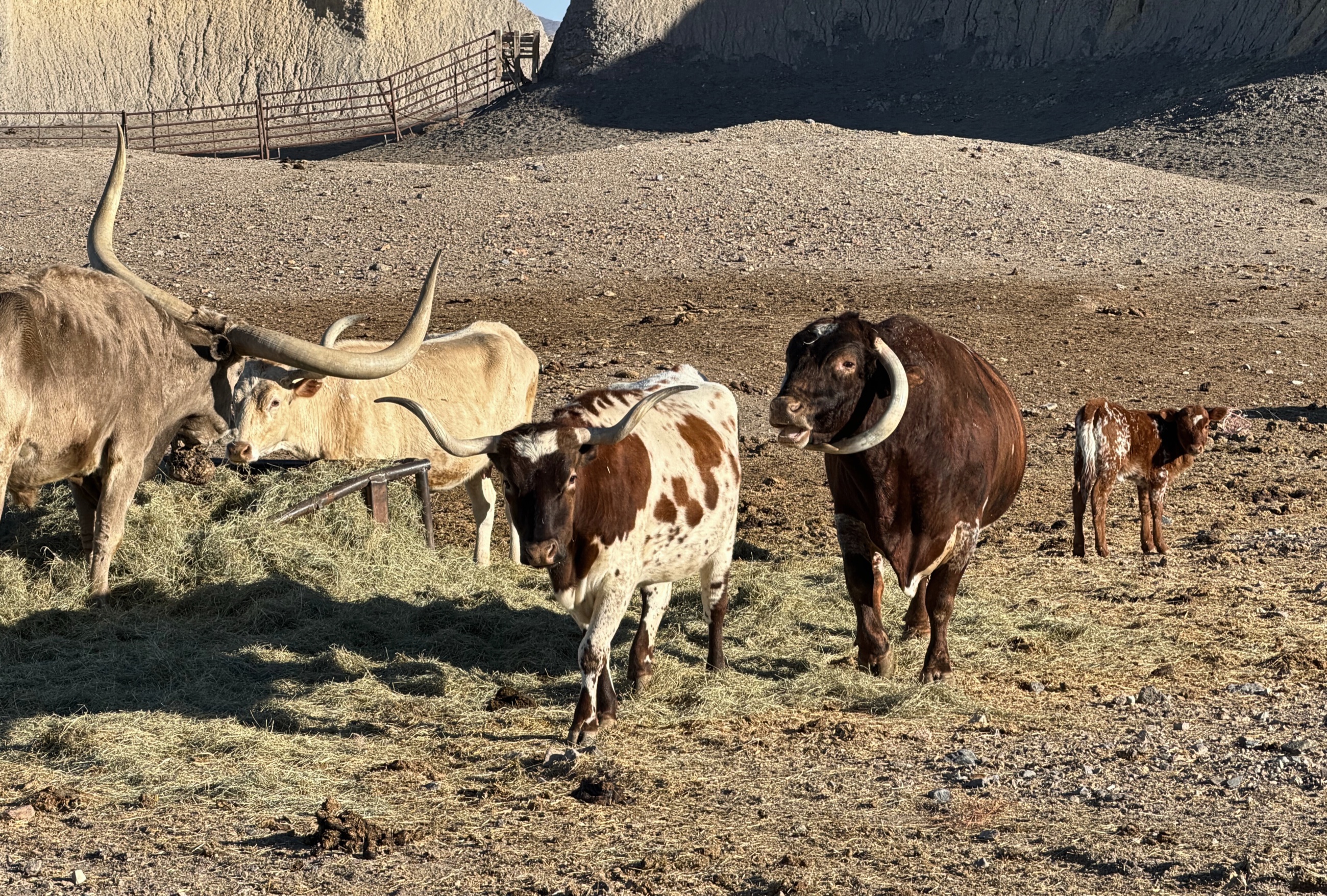 Cattle roaming in West Texas, where ranching and wilderness occupy the same broad landscape.
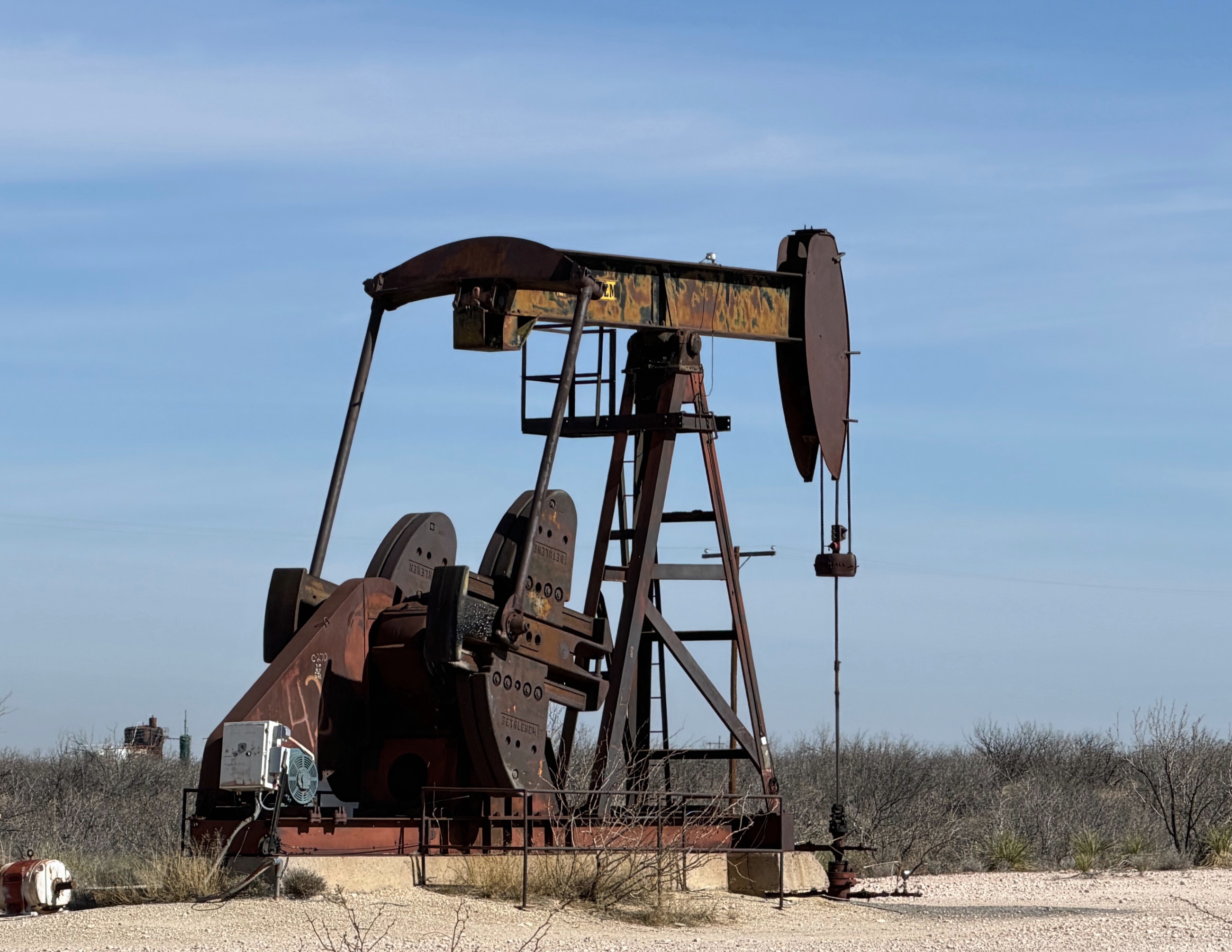 An active pump jack, part of West Texas’ long relationship with energy, labor, and extraction.
The approach also reveals that Big Bend is part of a working region. Ranchland, energy infrastructure, small towns, and protected wilderness share the same horizon. The land carries older history as well. The Comanche Trail once crossed this same country on its way into Mexico, and ranching families have worked these margins for generations. Big Bend became a national park in 1944, setting aside a stretch of the Chihuahuan Desert that ranching and energy work still share with protected wilderness today. The park feels remote, but it is not detached from the history and economy of the Trans-Pecos.
Along the Ross Maxwell Scenic Drive
The Ross Maxwell Scenic Drive crosses some of the park’s most varied terrain on its way toward Santa Elena Canyon. Volcanic formations rise from the desert floor, washes open between ridges, and long views make the road itself part of the day.
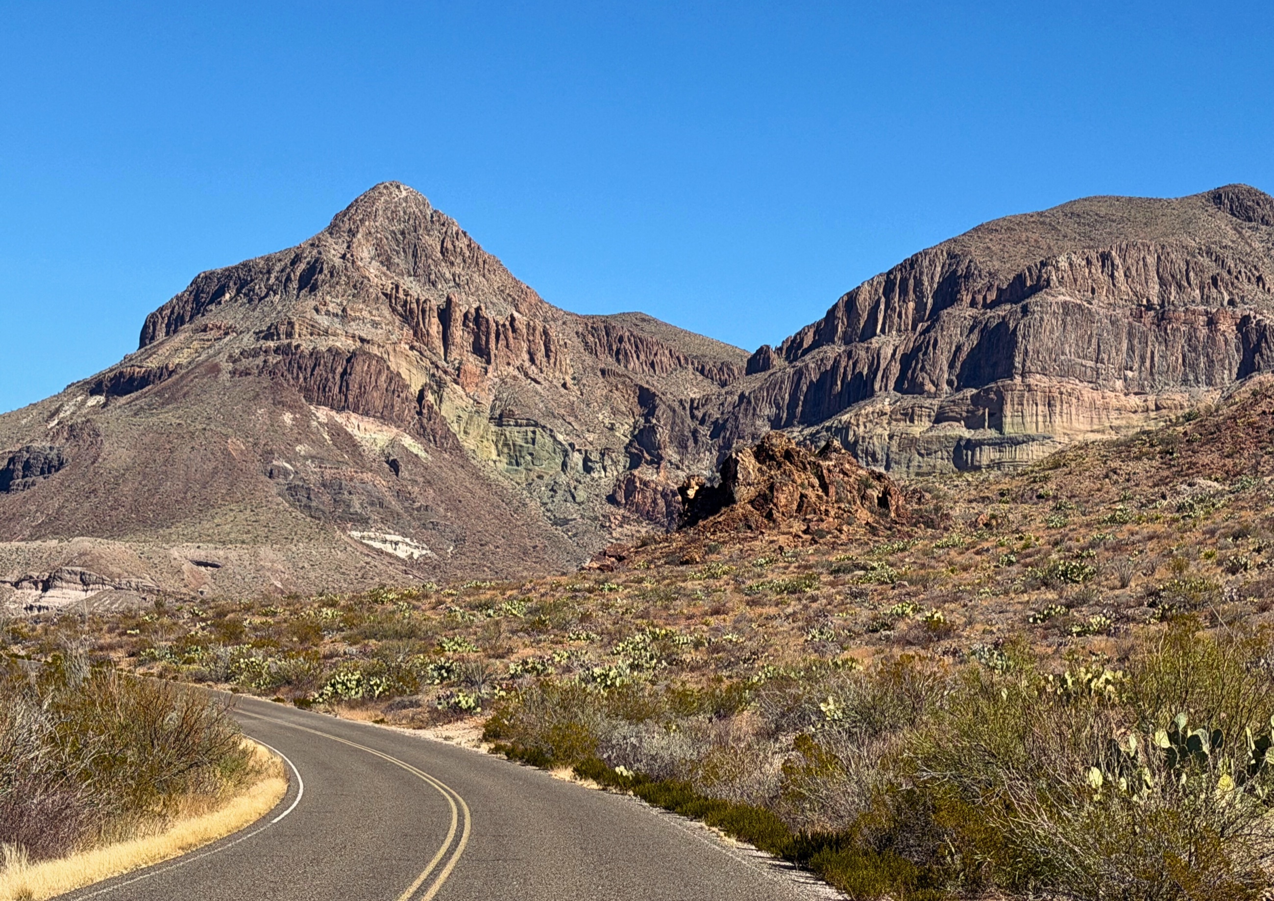 Ross Maxwell Scenic Drive, Big Bend National Park.
Tuff Canyon exposes layered volcanic rock, cut through by water and shaped by the region’s volcanic activity. Nearby overlooks reveal the desert in broader terms: pale washes, dark ridges, and mountains stacked across the horizon.
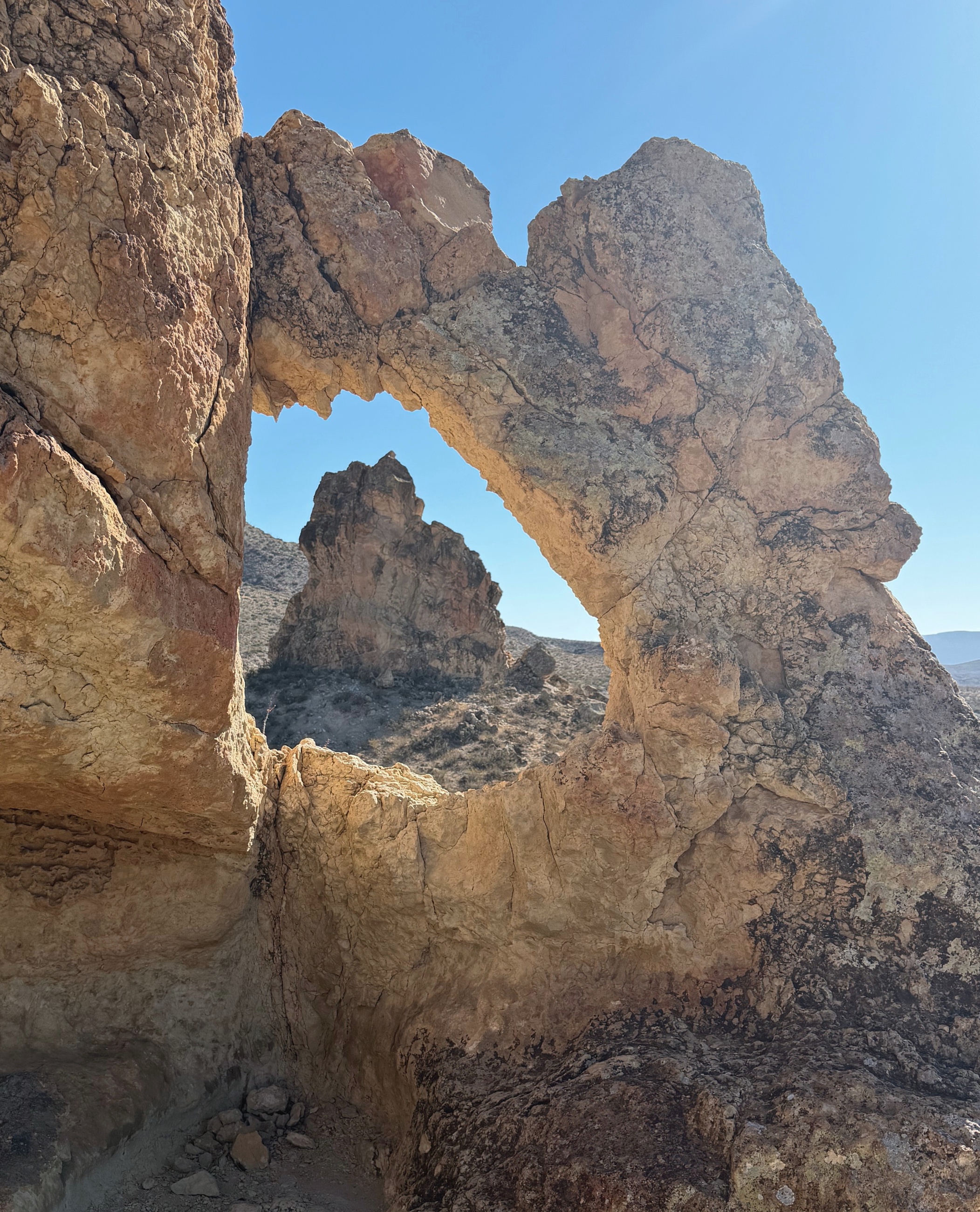 A limestone arch shaped by wind and water in Big Bend National Park.
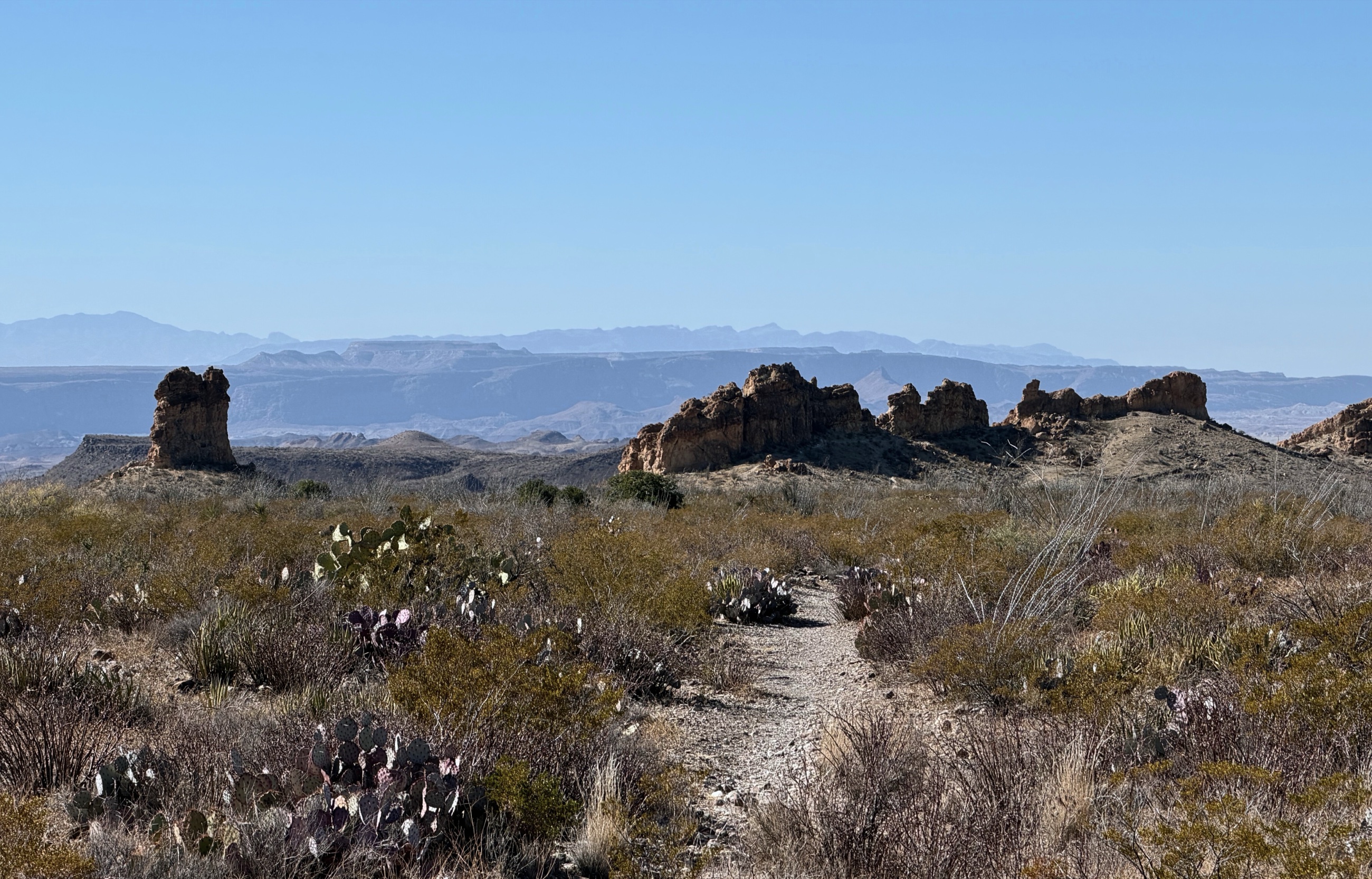 Wide desert terrain where distance, light, and wind define the experience.
The Chimneys Trail required a longer commitment. The route crossed exposed desert toward a group of volcanic rock formations marked by petroglyphs and other evidence of earlier human presence. Much of the value came from the approach itself: steady movement through open land with few distractions and no shortcut to the destination.
The Rio Grande and Santa Elena Canyon
The Rio Grande gathers much of the visible green in Big Bend, tracing a narrow living corridor through otherwise dry terrain. It also marks the international boundary between Texas and Mexico, though the river often appears modest beside the walls and open country around it.
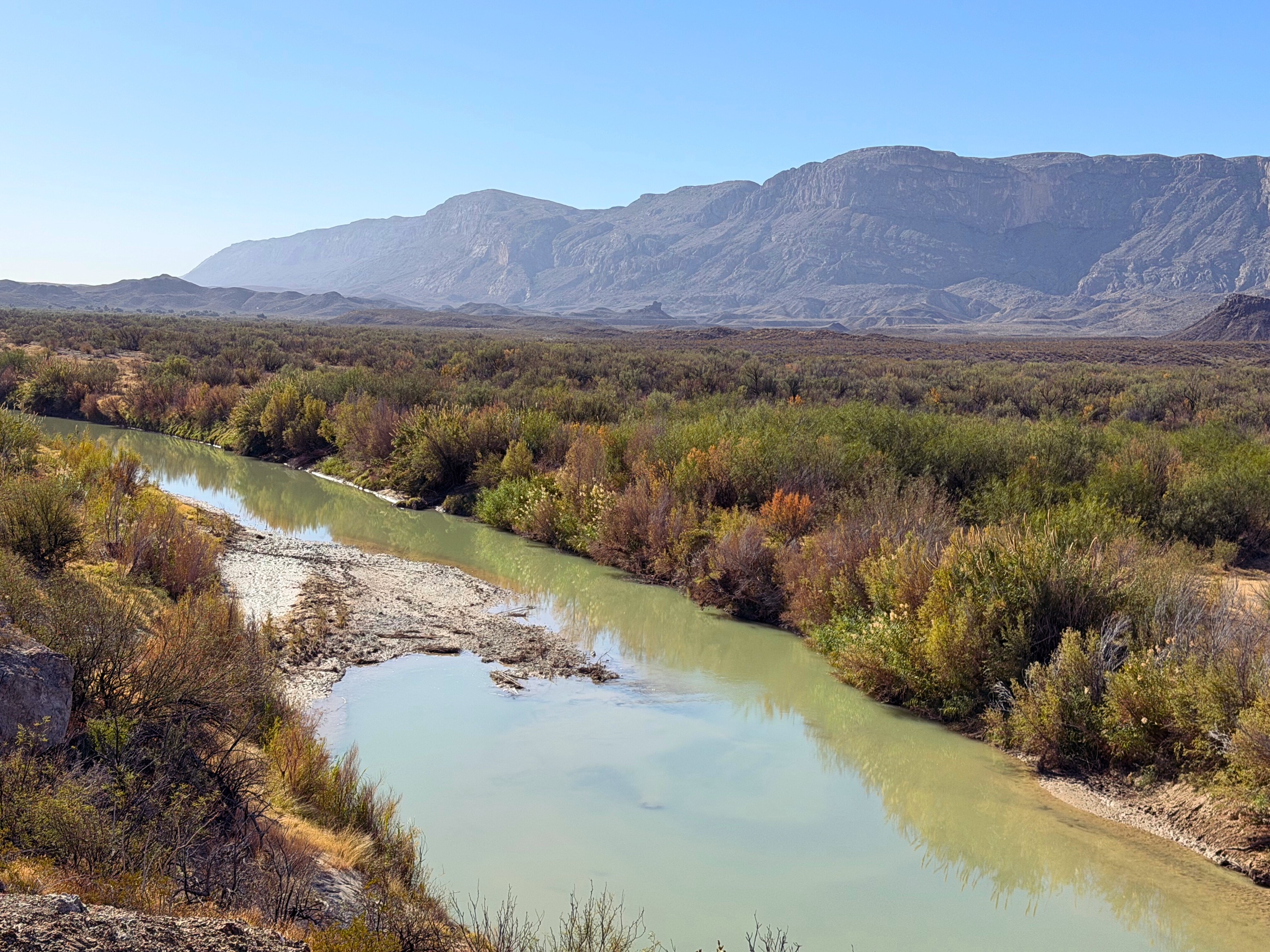 The Rio Grande in Big Bend National Park, marking the boundary between Texas and Mexico.
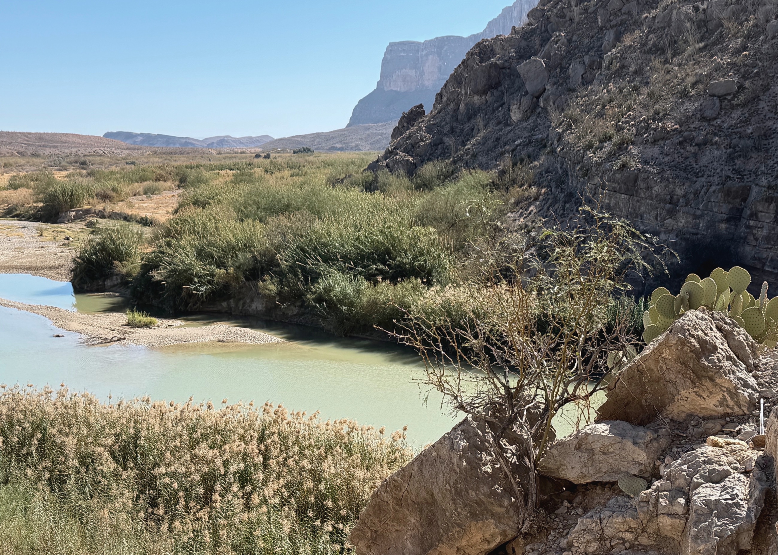 The Rio Grande forming a natural corridor of water and vegetation through the desert.
Santa Elena Canyon gives the river a different scale. Limestone walls rise roughly fifteen hundred feet while the Rio Grande passes through the narrow opening below. The trail enters beside the water, climbs briefly above it, then continues into the canyon.
Inside the canyon, sound compresses and reflected light moves across the stone. The path narrows, the wider desert disappears, and attention settles on water, rock, and the next section of trail. The canyon reveals itself gradually, one bend at a time.
Evenings in Terlingua
Terlingua began as a mercury mining camp in the early twentieth century. After the mines closed, the town nearly emptied before finding new life as a base for travelers, seasonal residents, guides, artists, and people who have chosen to live at the edge of a very large landscape.
Dinner after a day in the park was straightforward. High Sierra Bar and Grill and Taqueria El Milagro served people arriving dusty, hungry, and ready to sit down without ceremony. At El Milagro, prickly pear cactus appeared on the table after a day spent walking among it.
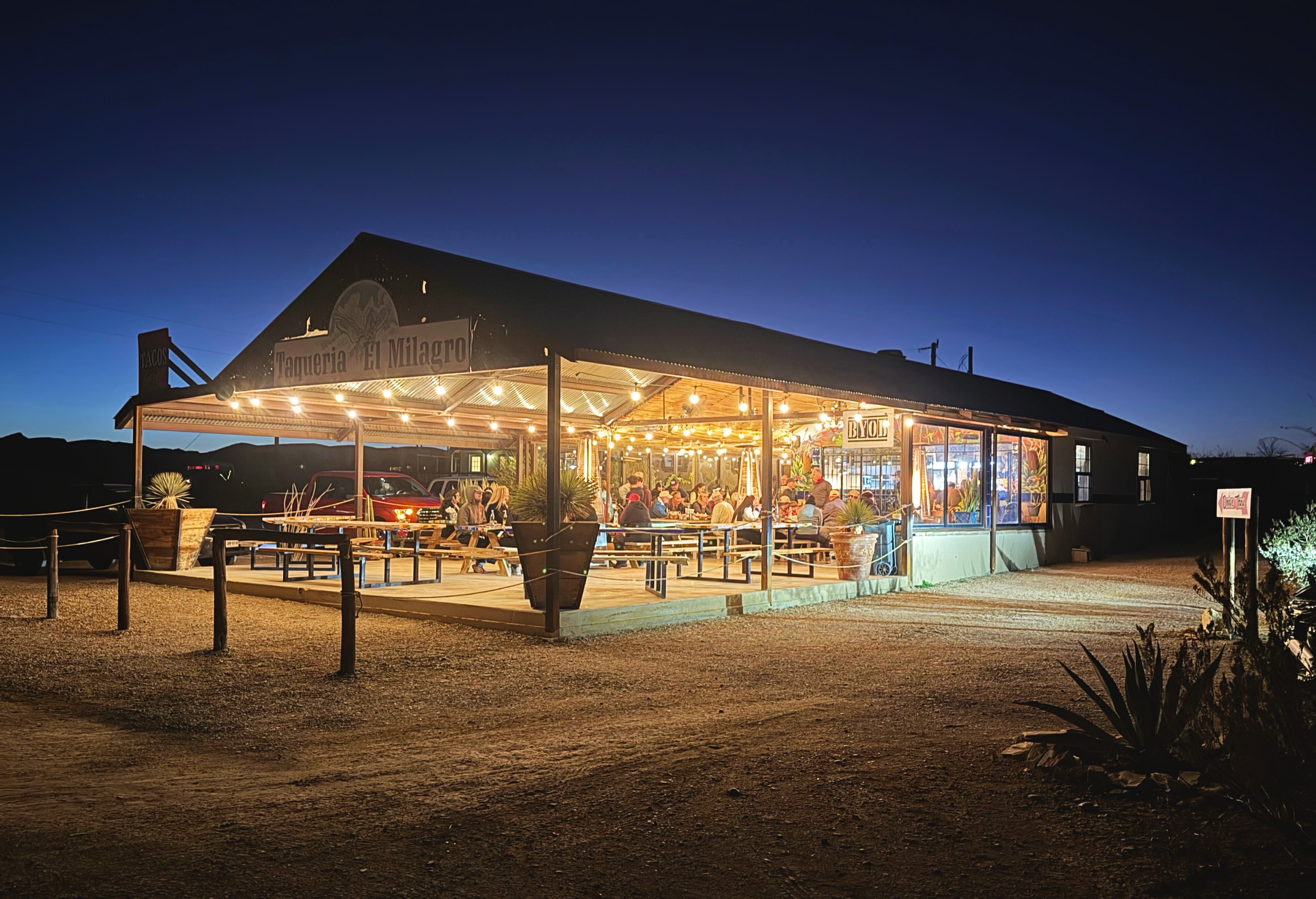 Taqueria El Milagro in Terlingua.
The meals were useful punctuation between days outside. Food, conversation, and a place to sit carried more weight than novelty.
Leaving Through Marathon
We chose to leave without forcing one more early start inside the park. The drive north led to Marathon and the Gage Hotel, built in the 1920s to serve ranchers and rail travelers moving through the Trans-Pecos.
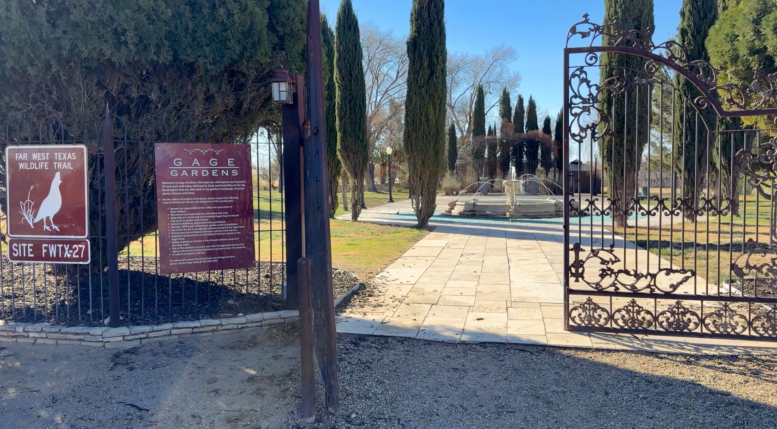 The Gage Gardens in Marathon, a cultivated pause at the edge of the desert.
Coffee in the courtyard and a walk through the gardens provided a measured transition from the park. After several days of orienting around trailheads, road distances, and available daylight, there was no need to add another objective.
For travelers with more time before heading north, the Window View Trail in the Chisos Basin offers a brief final walk framed by the surrounding mountains. Our own ending was quieter and farther from the park’s center.
Preparation Through Restraint
Big Bend was a trip long overdue for us. Its scale and limited resources made every choice more visible. Good planning created room for the experiences we valued most: late afternoon wind at Sotol Vista, the volcanic walls of Tuff Canyon, morning light in Santa Elena Canyon, and the long desert approach to the Chimneys.
The lesson was practical rather than dramatic. Preparation works best when it preserves the ability to adjust. A full plan still needs open space for weather, energy, instinct, and the decision to stop.
That principle extended beyond the park. We were preparing to leave the United States and begin living abroad, a transition built from countless logistical decisions. Big Bend offered a final reminder that movement depends on stewardship: of time, resources, attention, and one another.
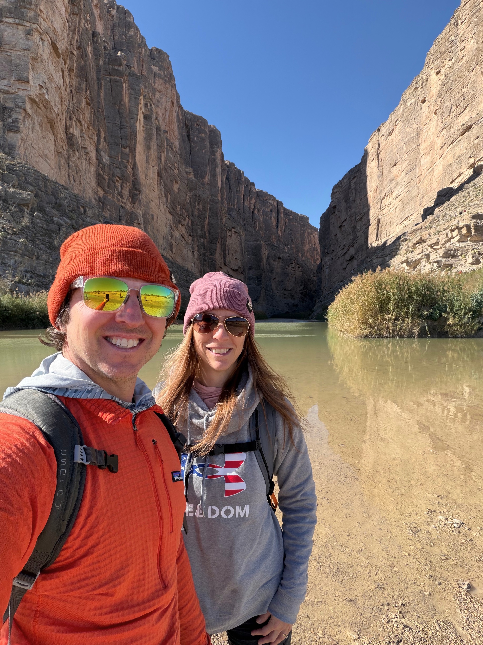 Together in Santa Elena Canyon after a long-awaited journey to Big Bend.
Practical Notes
- Base: Terlingua is convenient for the western side of the park and the Ross Maxwell Scenic Drive. Marathon and Alpine are farther from the main park sights but provide additional lodging and services.
- Distances: Big Bend is larger and slower to navigate than a map may suggest. Group stops geographically and avoid building a day around too many distant trailheads.
- Fuel and water: Fill the tank before entering remote sections and carry more water than the day’s hikes appear to require.
- Weather: Winter can bring cold mornings, strong wind, and major temperature swings. Exposed trails offer little shelter.
- Ross Maxwell Scenic Drive: Allow several hours for overlooks, short walks, Tuff Canyon, and Santa Elena Canyon.
- Longer hikes: The Chimneys Trail crosses exposed desert. Start early, carry adequate water, and account for the return distance.
- Food: High Sierra Bar and Grill and Taqueria El Milagro were reliable post-hike options in Terlingua.
- Departure: Marathon and the Gage Hotel work well as a northbound stop after leaving the park.